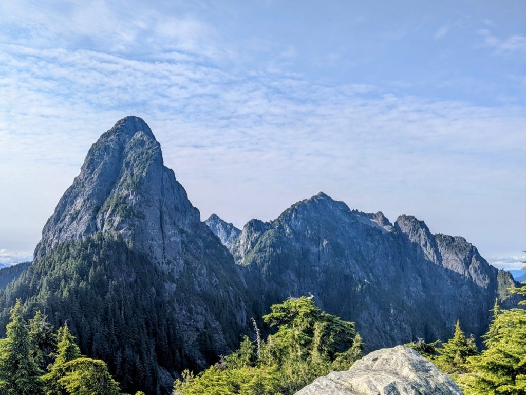
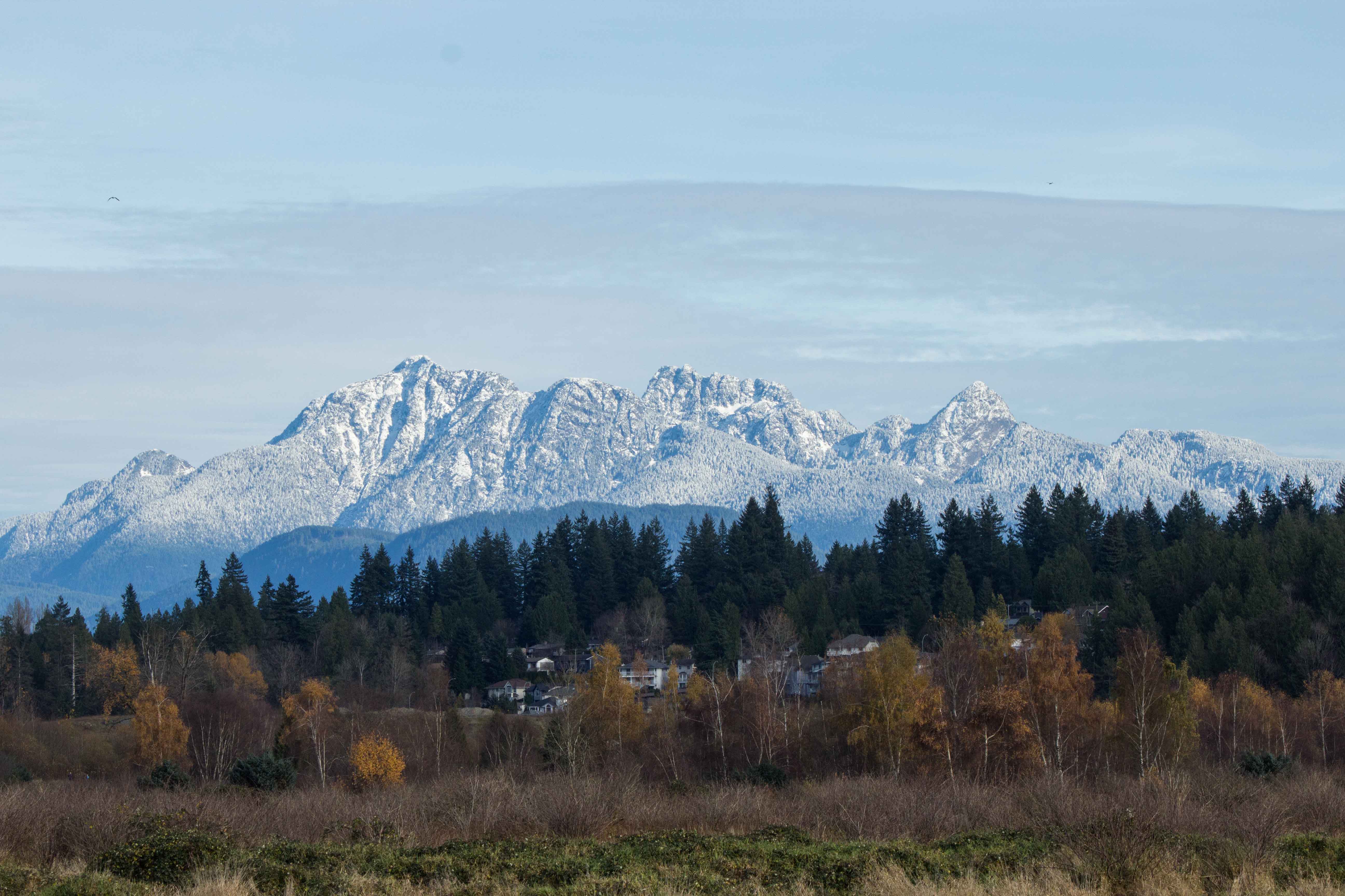
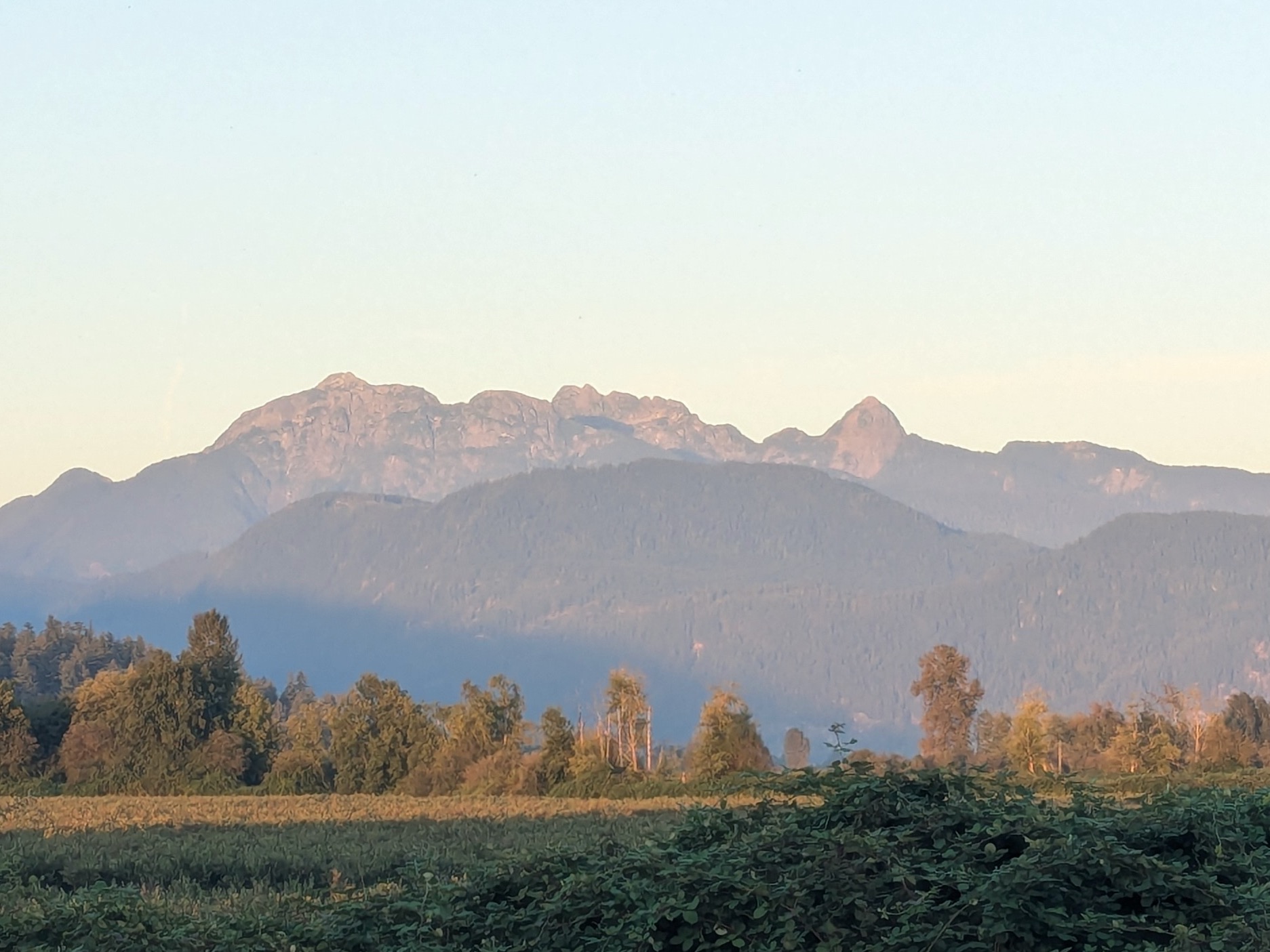
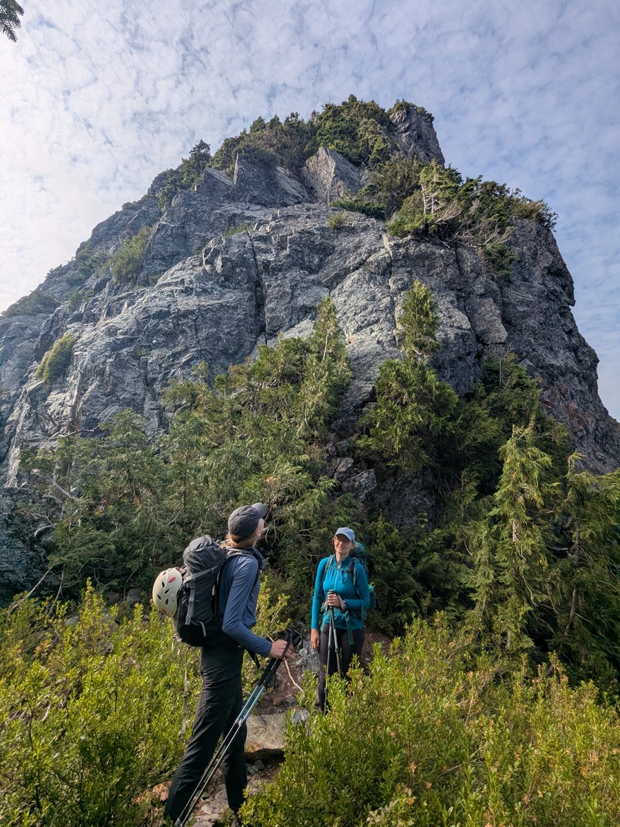
Shaped like a shark’s fin, Blanshard Needle is prominently visible at the southern end of the Golden Ears Range from various places in the Tri-Cities . For a long time, I assumed that the summit could only be reached via a very technical climbing route. However, after reading some trip reports, I was pleasantly surprised to learn that the standard route is essentially an alpine hike, with some class 4 and low-5th class scrambling near the summit. I felt the hiking and climbing were completely within my comfort zone. So I joined forces with Karolina and Beata, and put the plan on the calendar for July 12.
Trip Stats
- Location: Blanshard Needle, Golden Ears Provincial Park
- Date: July 12, 2026
- Trailhead to Trailhead Distance & Time: 15.2 KM, 11.5 hours
- Cumulative Elevation Gain: 1639m
- Route: Standard route via Alouette Mountain
- Gear: 50m single rope, singles in .3 to # 3, a standard set of nuts, 4 alpine draws, anchor material, and belay/rappelling gear
- Things to Note:
- Although the overall rock quality is quite good, there’s a fair amount of choss and kitty litter on the scramble. We were glad that there was no other party climbing above or below us.
- If going in summer, be sure to check the day pass requirements for Golden Ears Provincial Park.
Hike to Alouette Mountain
The day started with uncertain weather. The previous evening, we had checked the forecast and agreed that there was a strong possibility of rain. Our plan was to hike to the top of Alouette Mountain and assess whether the weather felt safe enough to climb the rocky sections on the needle. I was glad that the three of us had a similar risk appetite and were willing to give it a shot, even if the odds of summiting were 50/50.
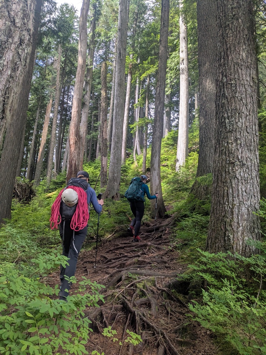
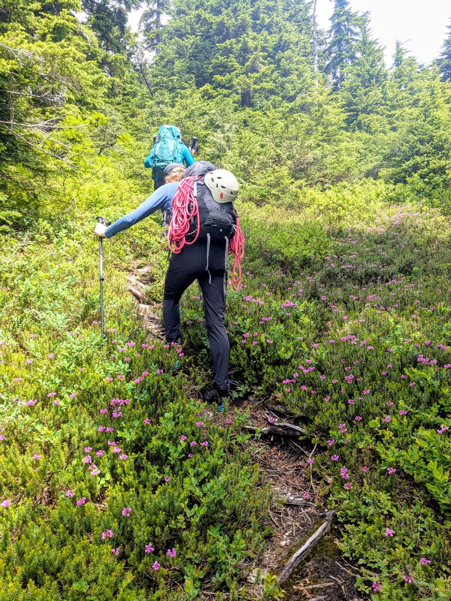
We started hiking from the West Canyon parking lot around 8:45 am. We believed this start time would put us on the summit of Alouette around noon, giving the rocks sufficient time to dry after the previous night’s rain. The hike up to Alouette was uneventful. We kept a steady pace on the steep, forested, root-covered trail. I admired the deep green forest and enjoyed the sounds of Hermit Thrushes around us. At one point, we could hear the loud chatter of a Sapsucker coming out of a tree cavity, but the bird itself remained hidden. Along the way, we met a gentleman who was descending from Alouette. After asking about our plans, he mentioned that he had summited Blanshard 54 times! He wished us luck and shared helpful beta about which tree to use for the rappel.
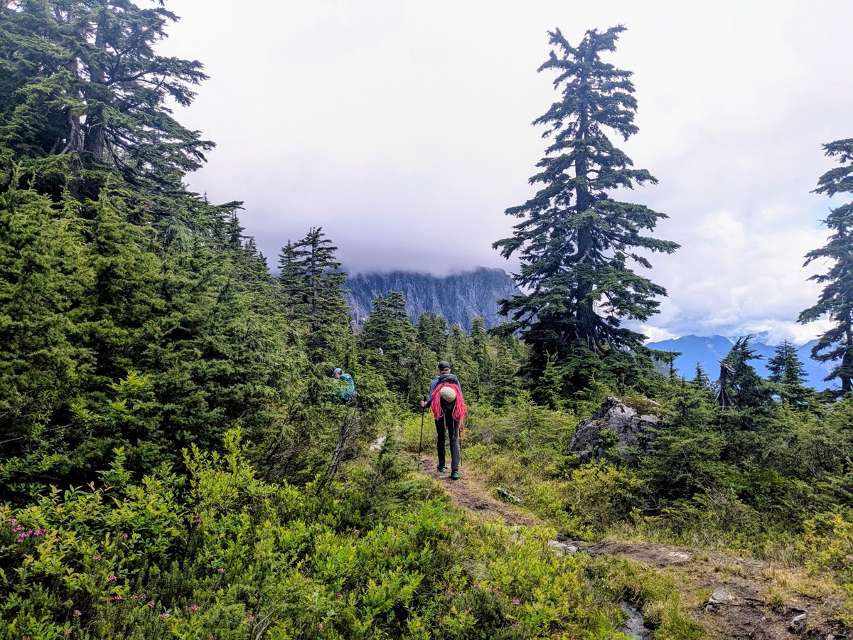
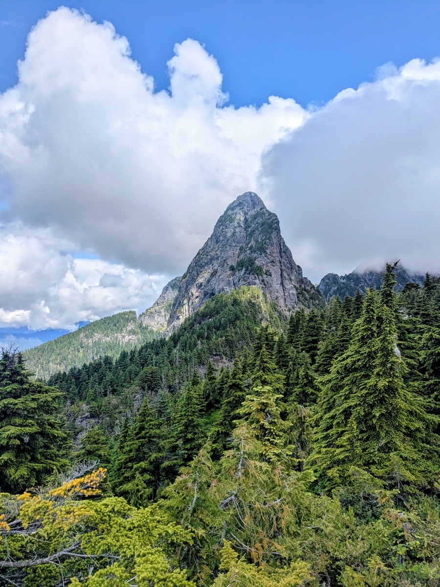
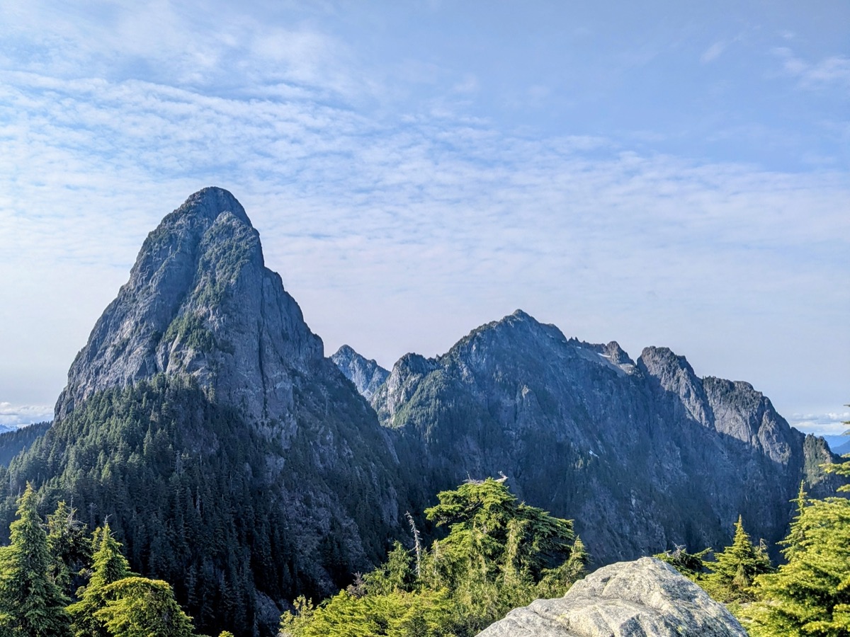
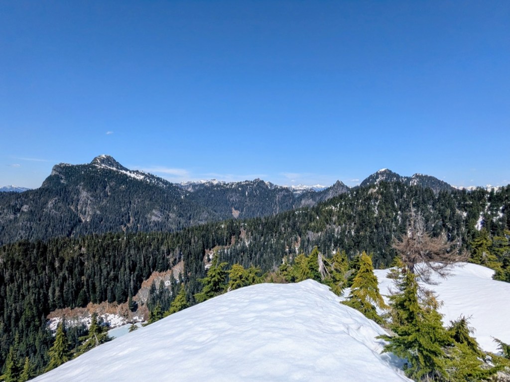
After three rest stops and plenty of conversations catching up on our respective summers, we arrived at the summit of Alouette Mountain at 11:45 am, on track as per our planned schedule. Blanshard stood in front of us, around 190m higher, looking intimidating from a distance. Beyond it, the expanse of Edge Peak was equally imposing.
Alouette-Blanshard Saddle
The weather was looking promising at this point. The sky was a clear blue and although the leaves were wet at times, the rocks around us were completely dry to the touch. There were some grey clouds in the distance but the forecast had predicted cooperative weather for the second half of the day. The decision to proceed with our attempt on Blanshard was therefore not difficult.
After a short break munching on snacks, we checked the GPS track going to the west side of Alouette summit, toward the saddle between Alouette and Blanshard, and plunged ahead.
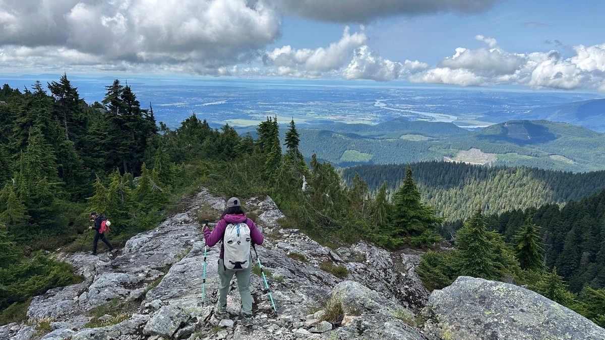
Initially, we ended up bypassing the opening where we were supposed to start the descent towards the saddle. Fortunately, we realized our mistake before it was too far and were able to backtrack to the correct opening. From this point on, the trail descended steeply and became quite bushwhacky in places. However, we kept noticing flagging every now and then.
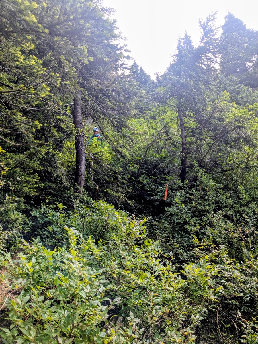
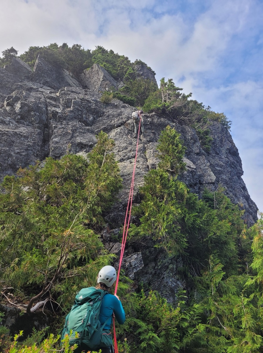
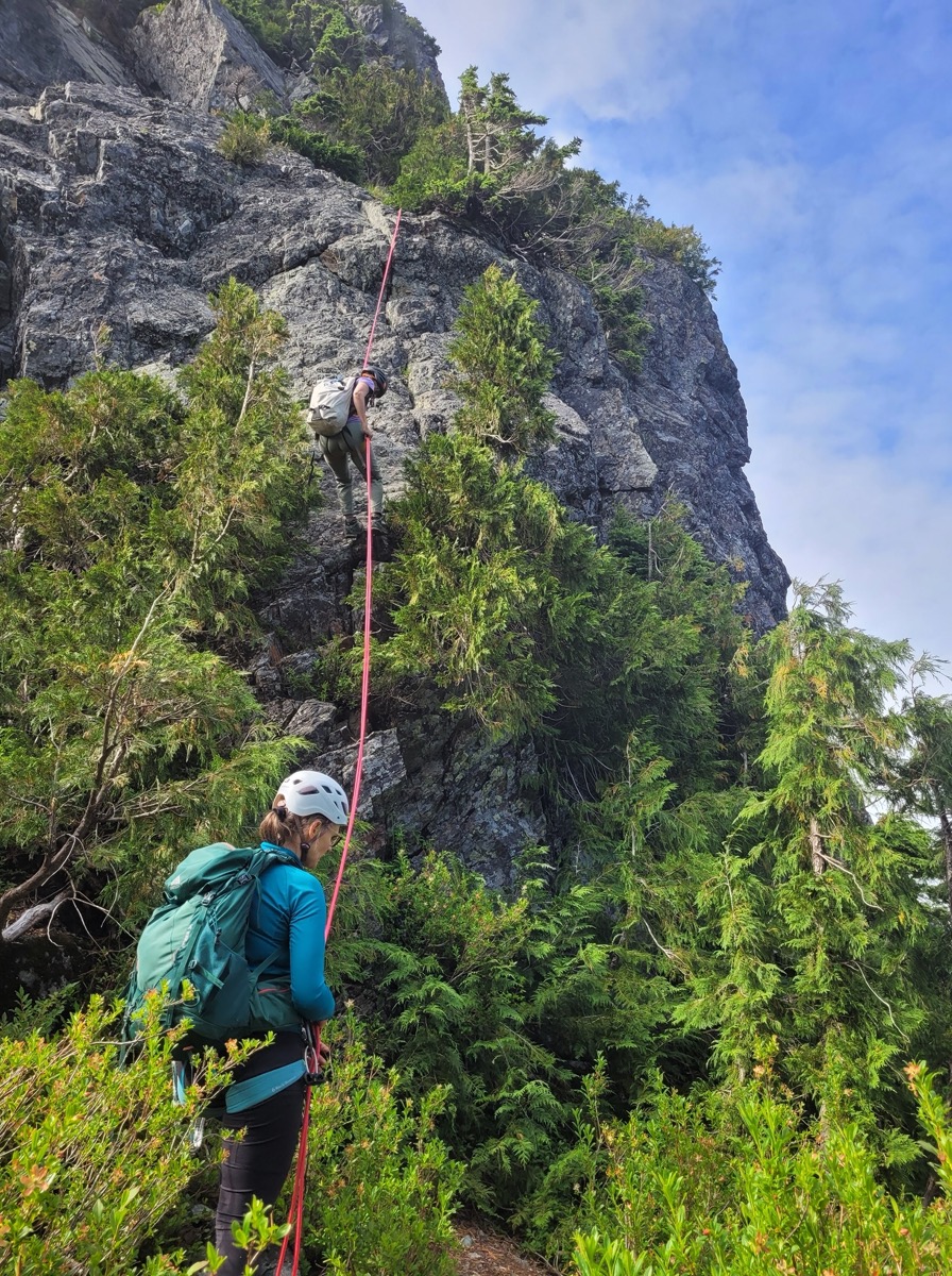
With the aid of the gps track and intermittent flagging, we managed to stay on the trail as it descended about 100m before starting to traverse towards Blanshard. After bottoming out at a flattish, rocky section, we hiked uphill for about 100 meters and finally emerged at the base of the Blanshard Needle, right below the crux of the route. This is where we would start climbing the needle on a short low-5th class pitch, before transitioning into a class 3/4 scramble.
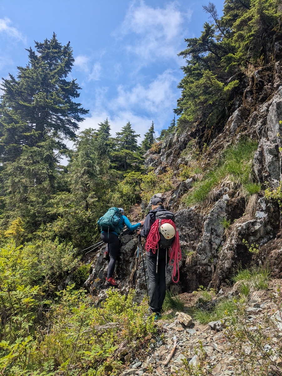
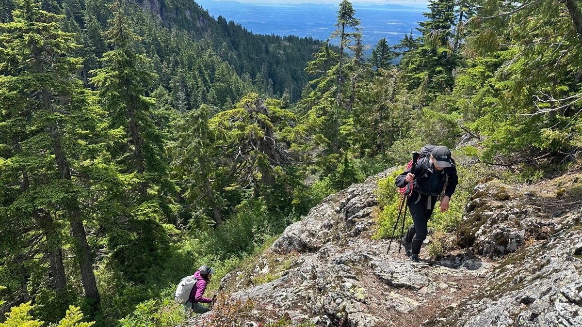
From a distance, this pitch had looked intimidating. But as soon as we were at the base, the gradient seemed mellow and our eyes could trace an easy route leading up to a couple of trees with multiple anchor slings wrapped around them.
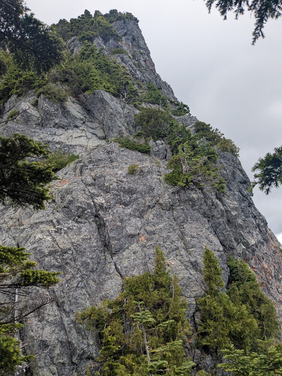
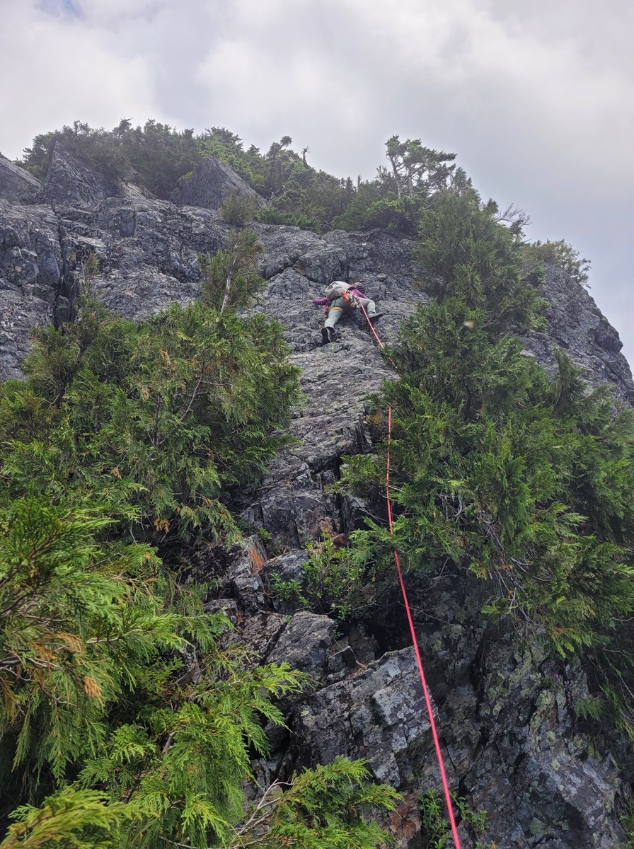
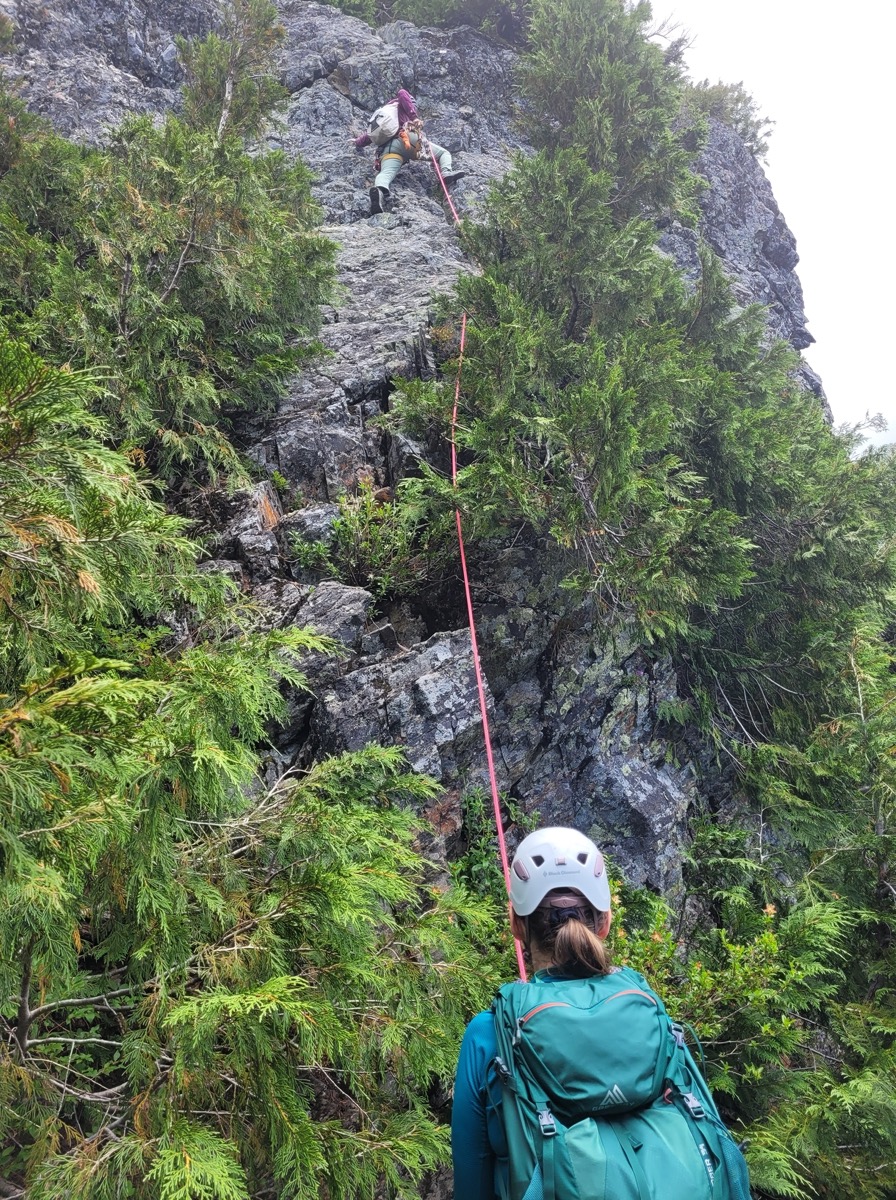
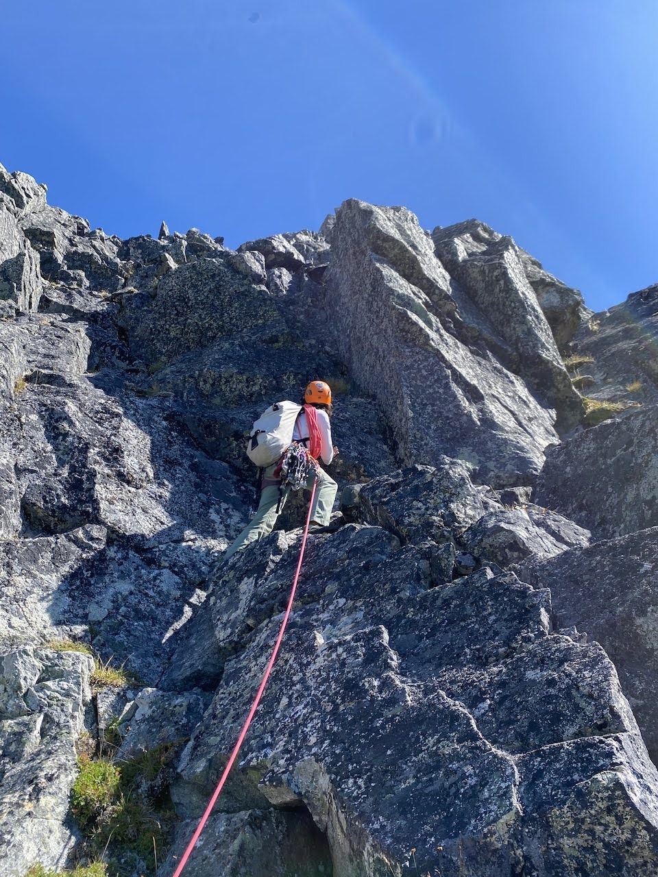
I took the lead here as Karolina belayed me. After slinging a tree close to the bottom and placing a couple of pieces, I finished the short (12-15m) pitch without trouble. The rock was solid and there were plenty of good holds. The low 5th grade rating can likely be attributed to the exposure and one slightly tricky move before topping out. There had not been that many good spots for placing gear, which I think is the case on many low 5th class routes that don’t have crack systems. I built my sling anchor around a tree and belayed Karolina and Beata up to me. Later on, I would realize that the smarter choice would have been to belay from a second tree a bit further up, as it was in much better shape than the one I had used (and apparently many other people had the same idea).
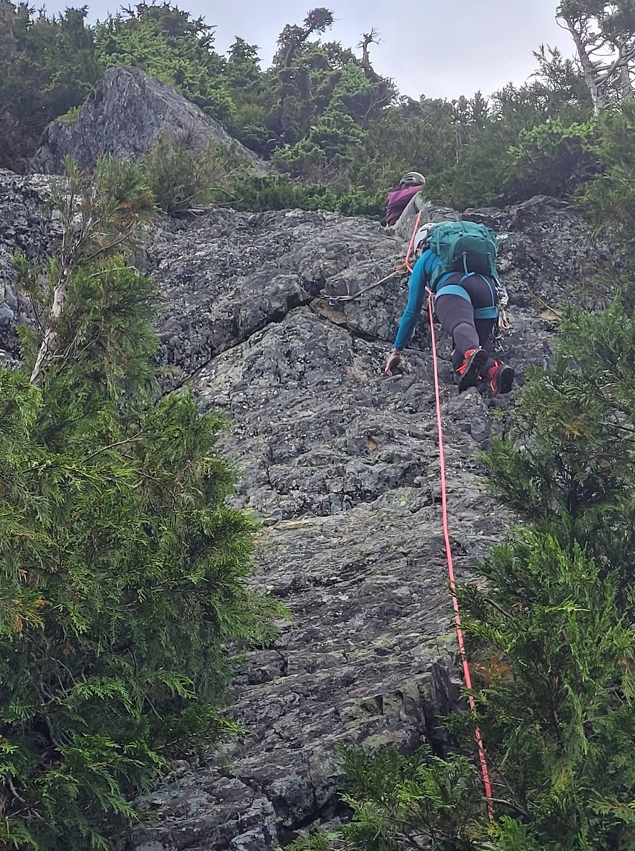
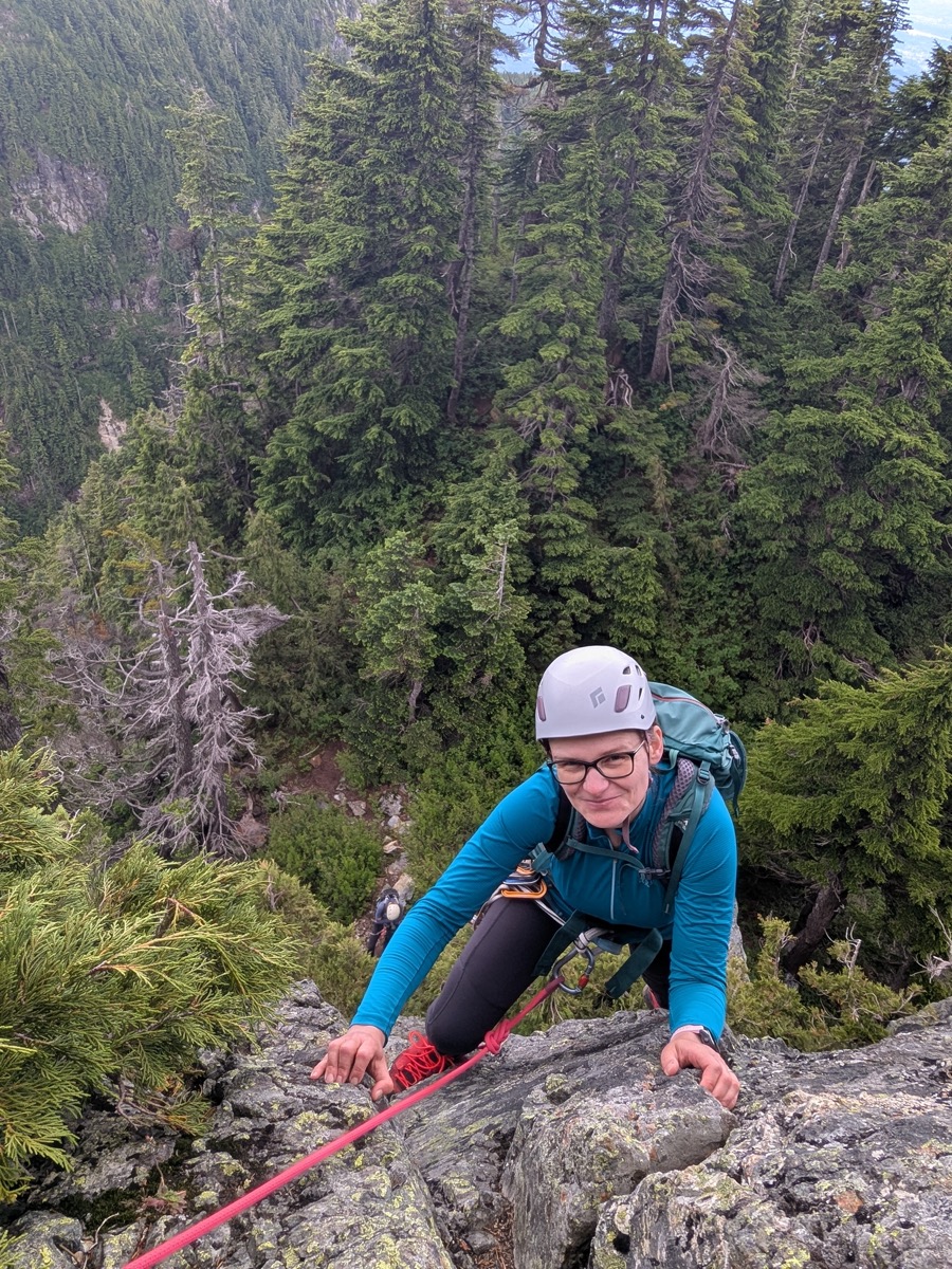
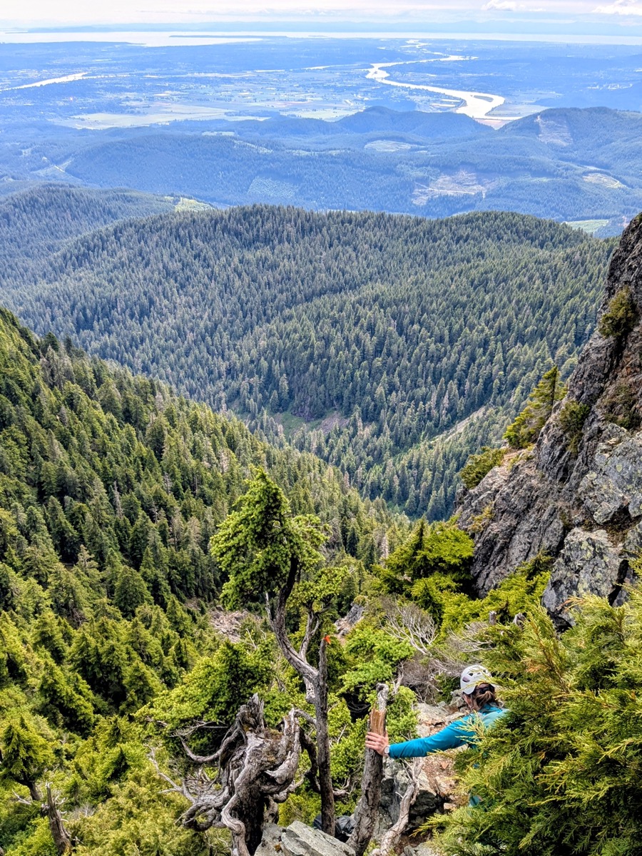
From here, we unroped, and Karolina and Beata took the lead in route finding. For the most part, the route was obvious. However, there were times when we had to scout both the right and left sides before determining the easiest path up. We worked as a team and kept steadily climbing. It felt like a stout class 3 or class 4 scramble. There were plenty of holds, but the terrain felt vertical and exposed at times. We had to be really careful about choss and loose gravel, especially in sections where we were climbing below one another. We had to call “Rock” a few times, which kept us in alert mode the whole time. Along the way, we noticed trees with slings around them – these would be our rappel points on the return. The flagging had become quite sparse in this section but we still spotted it intermittently.
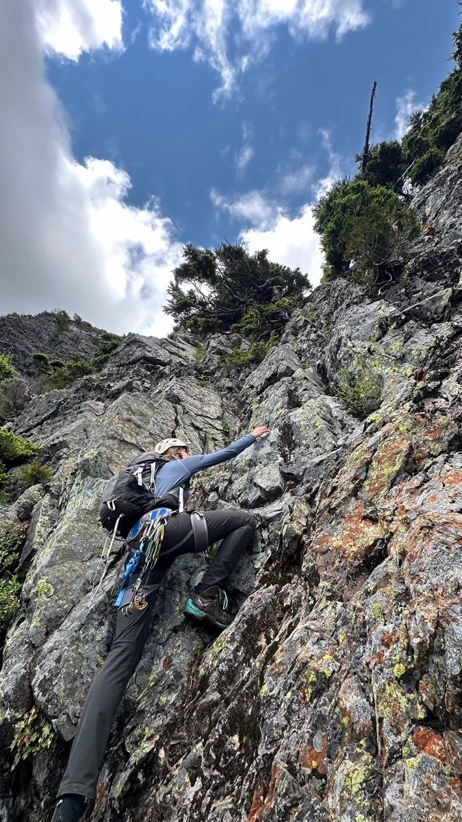
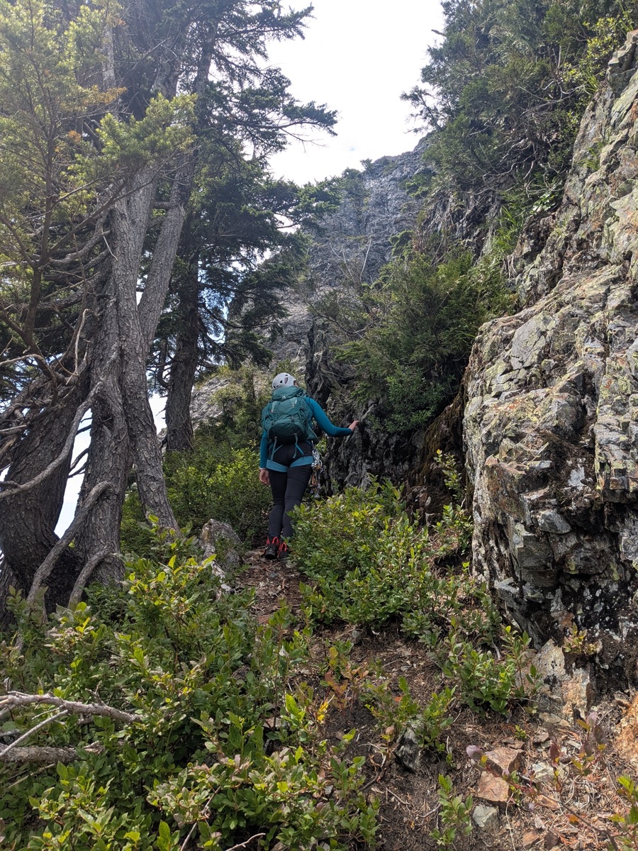
Around 2 pm, we arrived at a ledge just before the notch between the false and true summits. We spent a few minutes trying to figure out the way across. I first tried going downhill along a visible path, but after feeling the steepness, realized I was on the wrong track. There was a lot of exposure on both sides of the notch, so we took our time navigating. Finally, after reviewing screenshots from Steven Song’s trip report, I attempted a move to get to the other side of the notch. The move worked well and I was across easily!
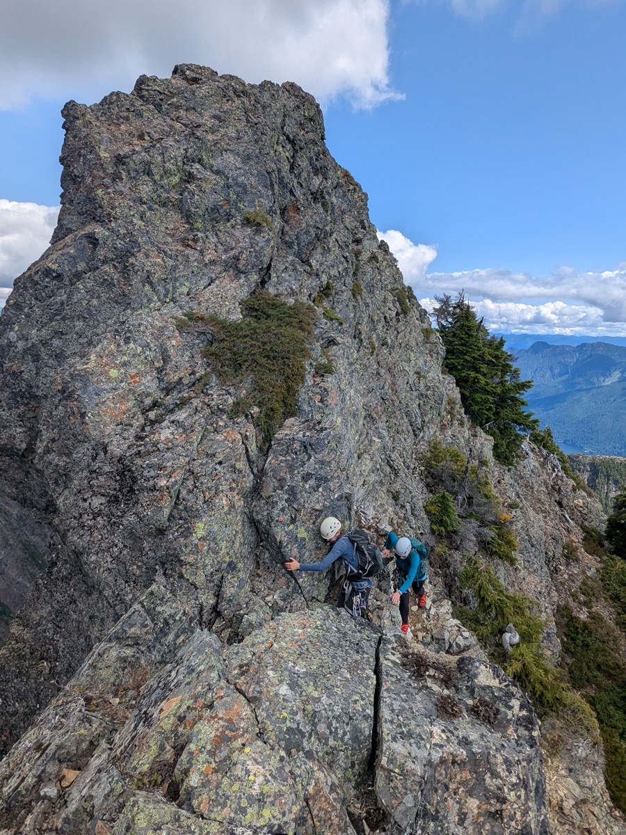
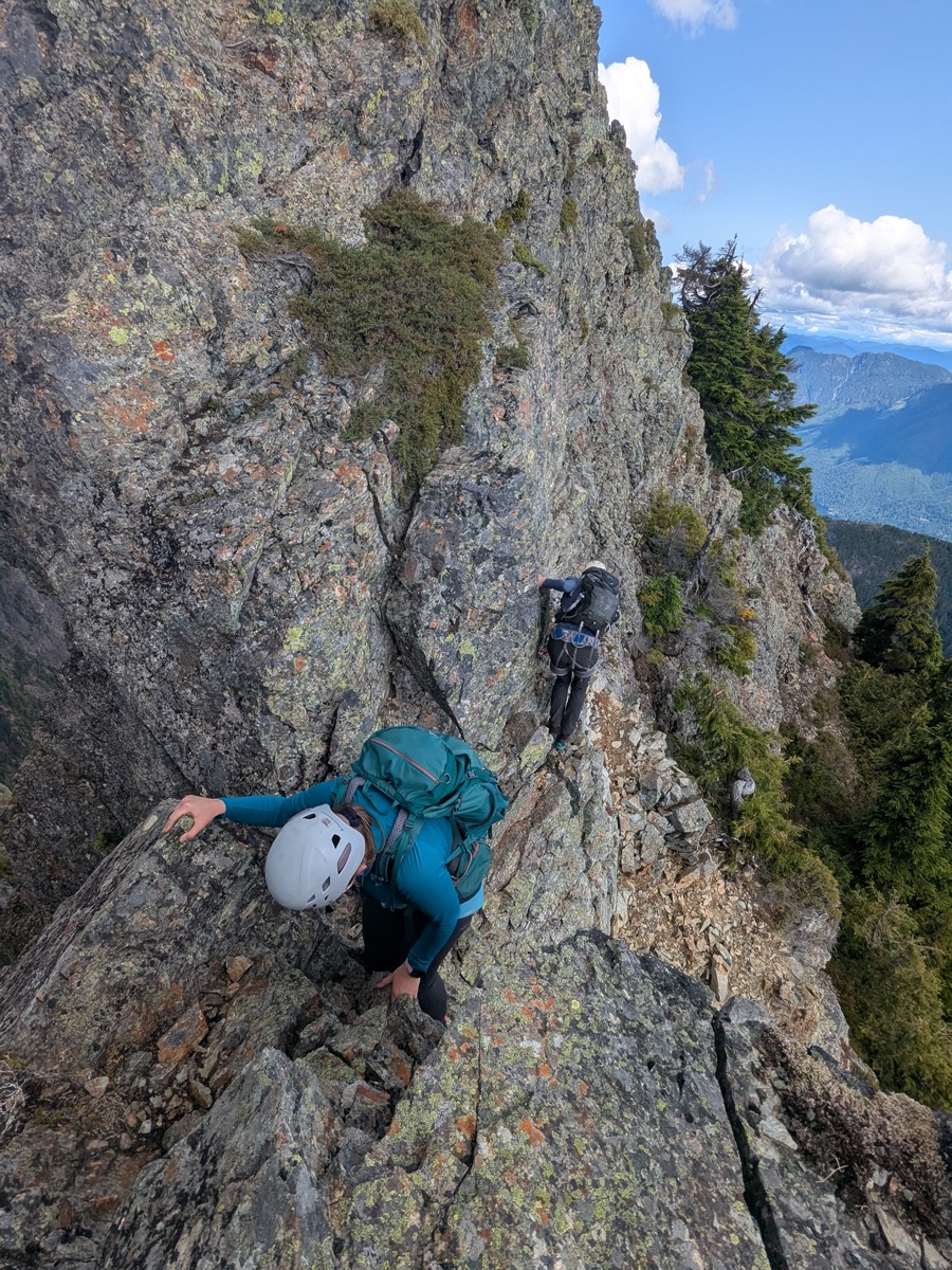
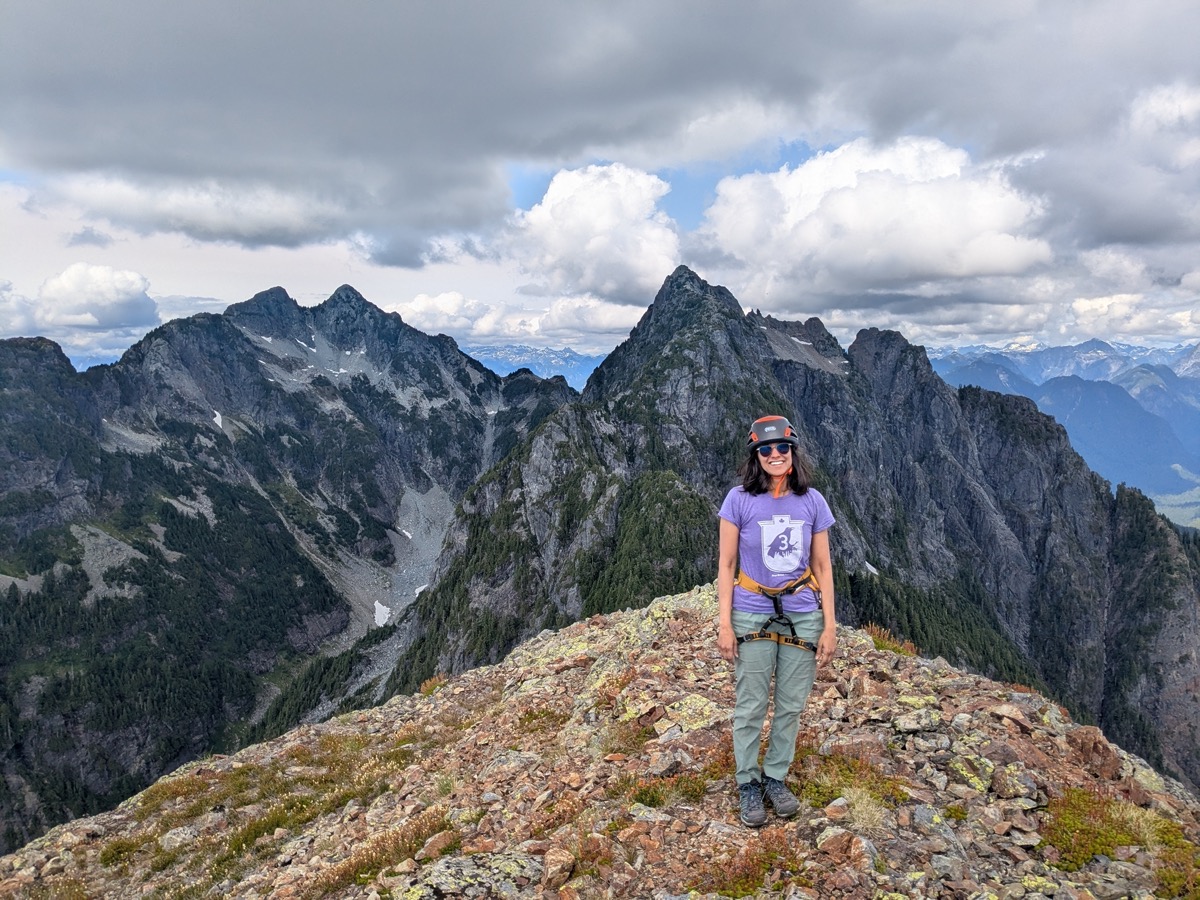
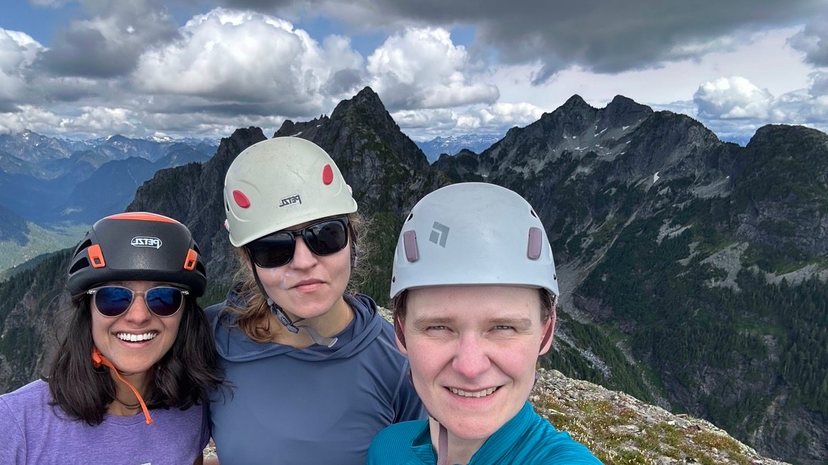
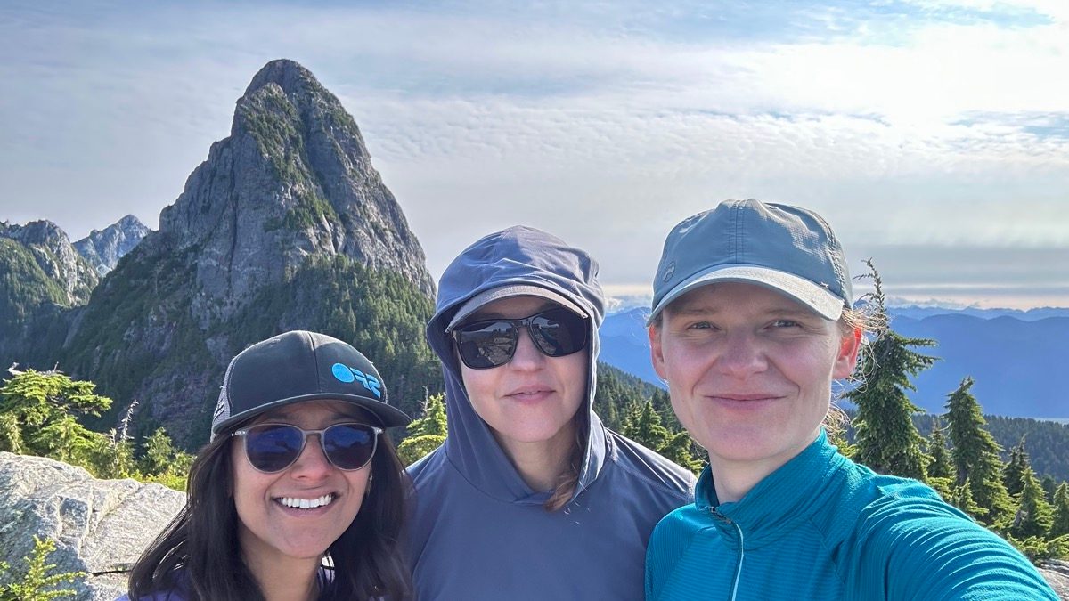
Karolina and Beata followed, and soon after, we were below the final section before the summit. There was a bit more scrambling, followed by walking on some chossy red-colored rocks. Moving together, we arrived at the summit at 2:30 pm!
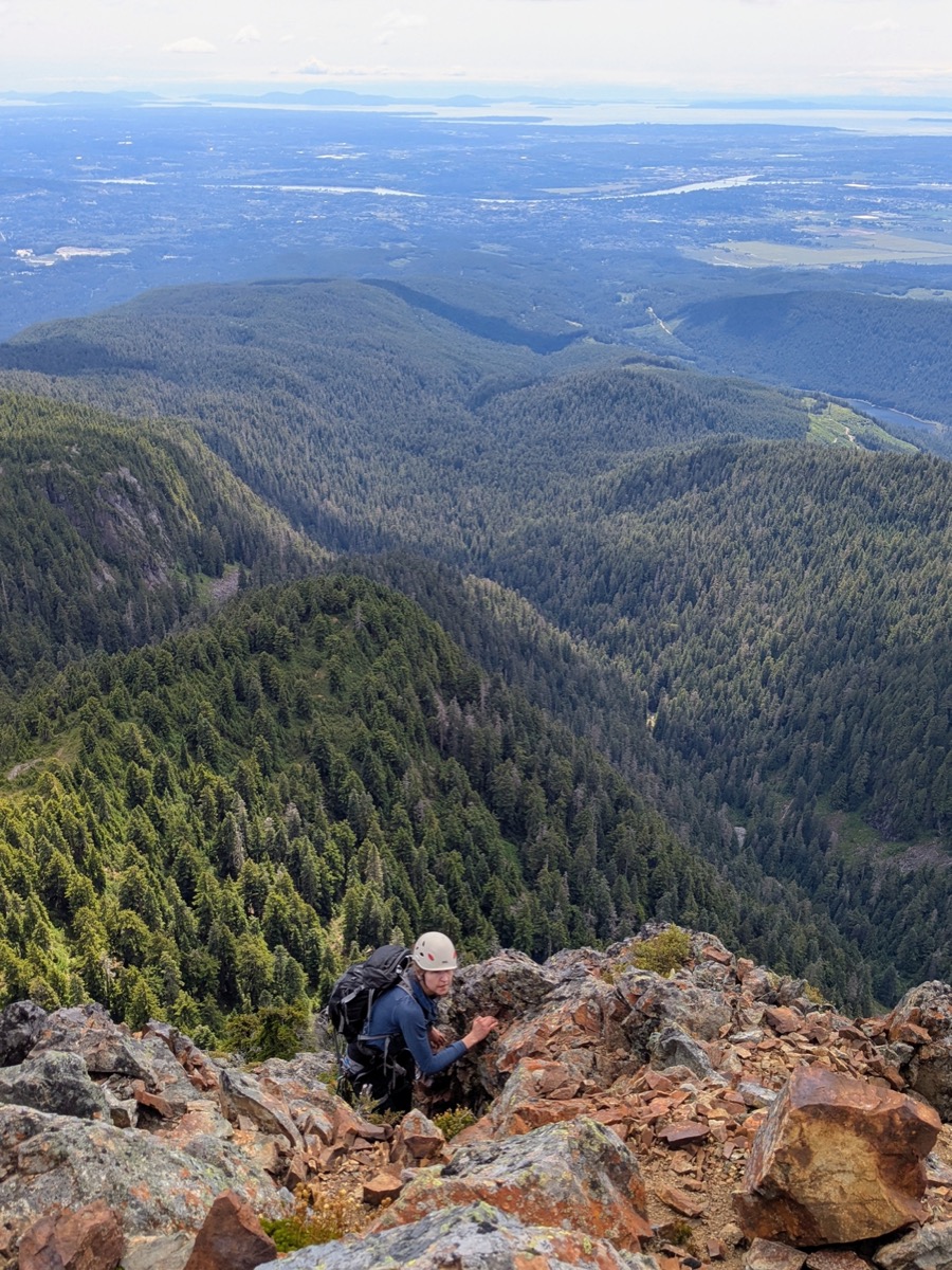
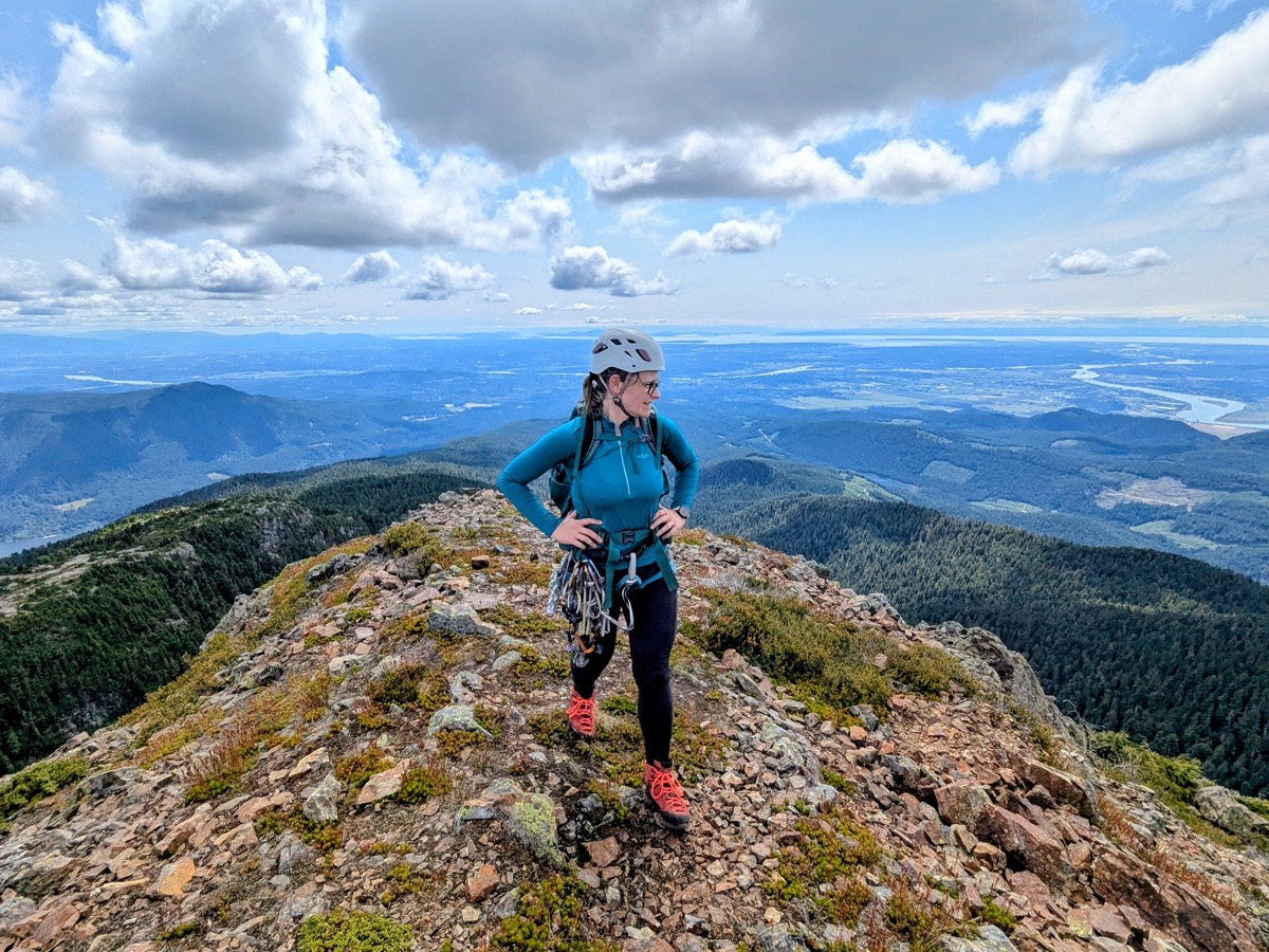
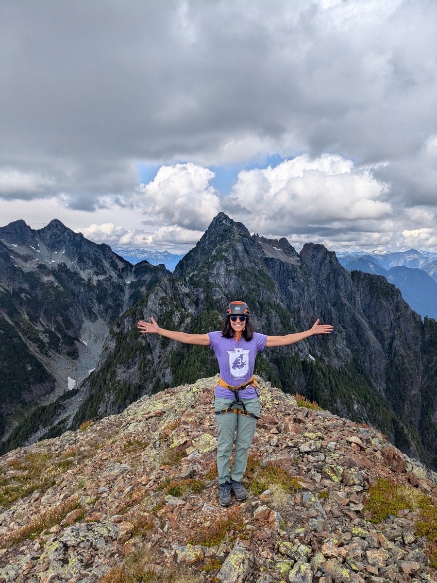
We were treated to beautiful summit views. Edge Peak and Golden Ears were to one side with Alouette Mountain on the other. Mount Judge Howay and Robie Reid were shining in the distance while the Pitt River snaked its way to our south. I was elated to be here, after having thought about this moment for so long!
Descent
We were still a bit nervous about the possibility of rainfall, so we snapped a few quick pictures, ate our sandwiches, and started the descent at 5pm. It was slow going, but we made steady progress downclimbing the scrambling sections.

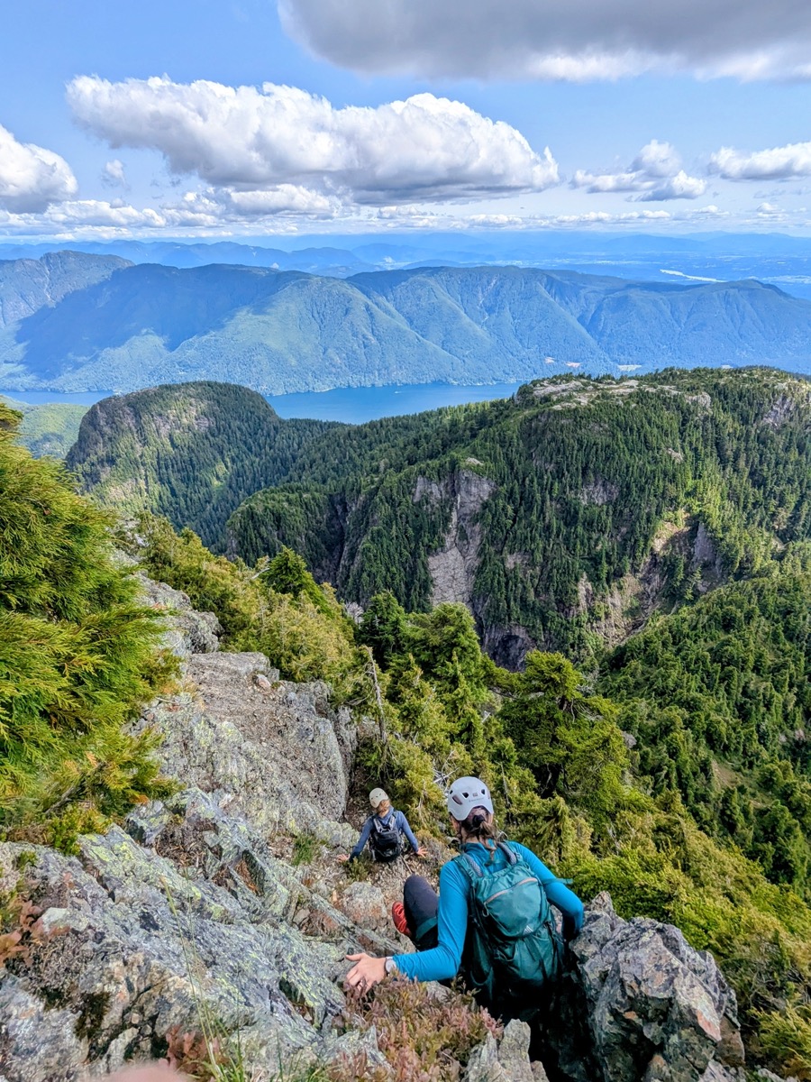
On the first rappel, Karolina and Beata went down before me. I was a bit afraid that the rope might get stuck in a tree during the pull, so I decided to skip that rappel and simply downclimb that section. There were two more rappels before we got to the base of the needle. All three rappel trees had plenty of slings that were in good shape, along with a rappel ring/quick link.
Later on, we agreed that we could have saved a lot of time by skipping the first two rappels, as downclimibing those sections would not have been particularly difficult.
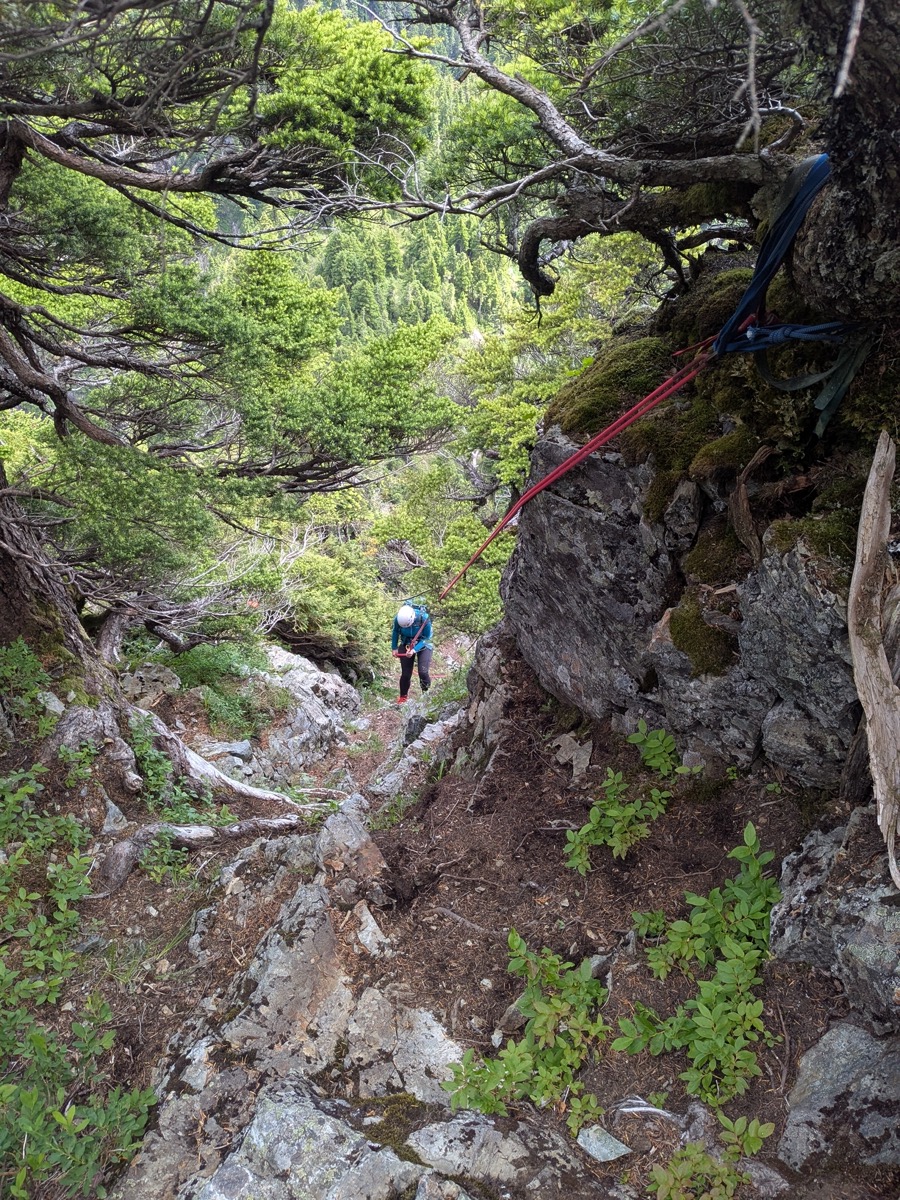
By the time we got back to Alouette summit, the sun was fully out. Since we were out of complex terrain, we took a relaxing break before heading down.
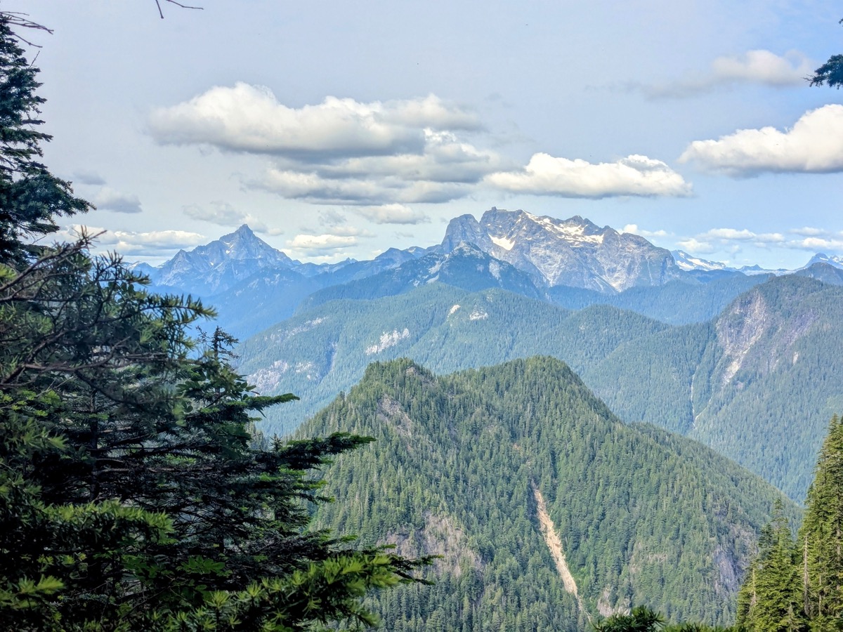
The rest of the hike down Alouette went by fast, although it seemed unending (isn’t that always the case?). Karolina saved us from going off-route, especially at one point where I would have easily headed straight downhill in my walking daze, failing to spot the flagging for the left-hand turn.
We got back to the car at 8:15 pm, around 11.5 hours after we had started the hike. It had been yet another alpine adventure of this season.



Leave a Reply