
Although the Escape Velocity route on Habrich had always been on my wishlist, I had not put a lot of thought into climbing it. When my friend Marc brought up the idea a few weeks ago, I decided to jump on it. It was still a little early in the season, but we knew the snow had melted out and the weather was clear.
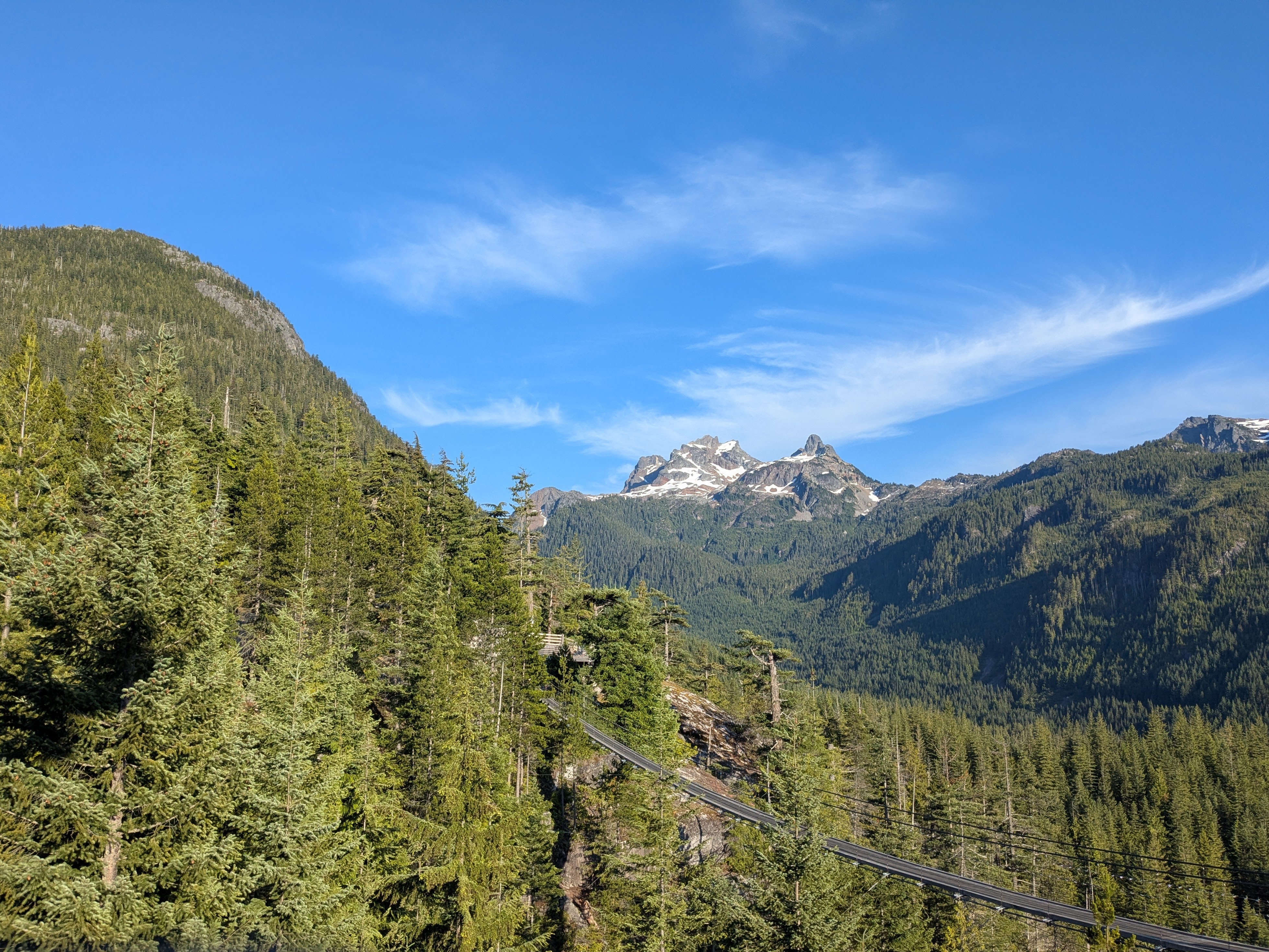
Trip Stats
- Location: Mount Habrich near Squamish
- Date: July 5, 2026
- Trailhead to Trailhead Time: 10 hours
- Route: Escape Velocity (5.8+)
- Gear: 60m single rope, doubles in #.4 to #3, a single in #.3, a standard set of nuts, 8 alpine draws, anchor material, and belay/rappelling gear
Approach Hike
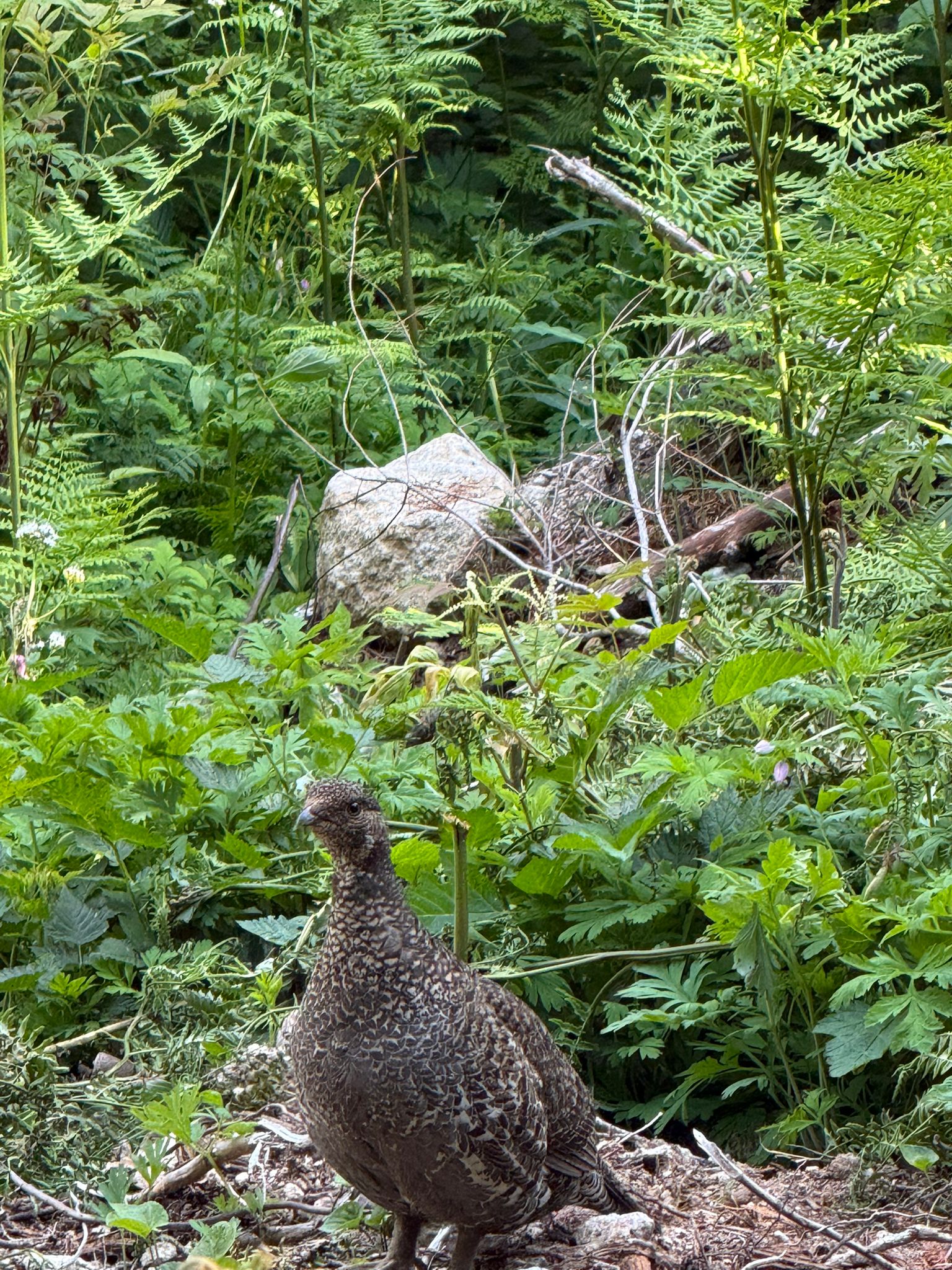
Marc, Andrew, and I climbed this route as a 3-person party. We felt no shame in opting for the gondola ride over a hike up the Sea to Summit trail. We took the first upload and started hiking on the Sky Pilot Valley trail at 9:15 am. In the initial section, we encountered a grouse, which, upon spotting us, immediately started walking ahead of us on the trail. We were puzzled by this seemingly brave behavior but it was explained on the way back when we spotted three chicks at same spot, just among the bushes by the trail. We realized that this mamma grouse had succeeded in distracting us away from her chicks when we were going up. Pretty cool!
Within an hour or so, we arrived at the turnoff for Habrich, around the 4 km mark from the upper gondola station, according to Gaia. Until this point, the hike had been mostly flat and quite easy.
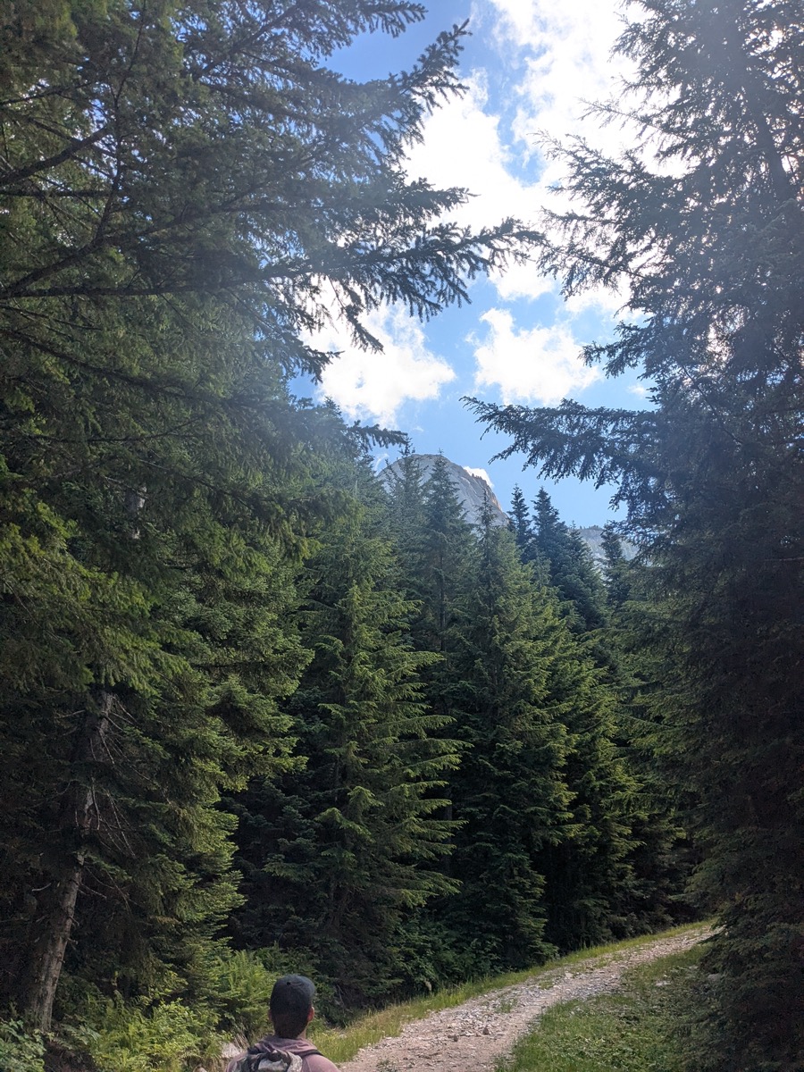
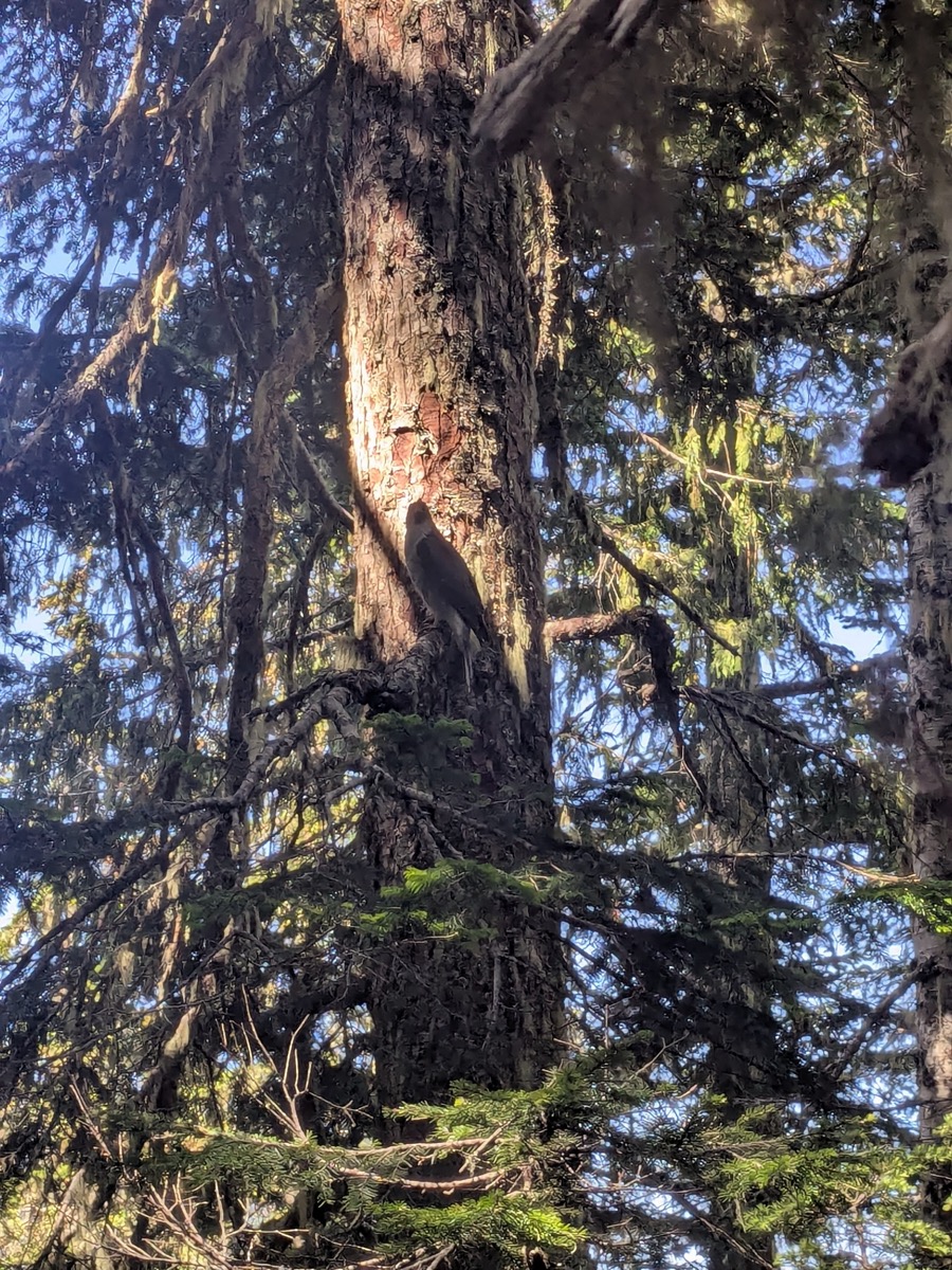
Things changed abruptly at the turnoff. From this point onwards, we gained nearly 500-600m within just a kilometer. This is one of the steepest approach hikes I have done and it gave us a good workout. Taking a couple of breaks along the way, we trudged up the steep, forested trail. The trail was lush green and padded with the softest of soil. Hermit thrushes were all around us and we were also treated to the sight of what looked like an American Goshawk.
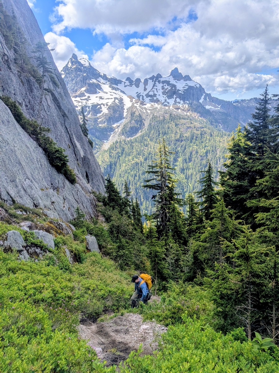
At 11:30 am, the trail finally brought us to a col at the base of the west face of Habrich. Ahead of us, we could see the first two pitches of our intended route. The regular scramble route on Habrich went up the bushy ledges to the right of the climbing route. We saw a trail runner go up the regular route in her runners, and without a helmet. Another hiker, who arrived at the col shortly after us, also started going up that way but soon thought the better of it and came down.
On the climbing route, we saw two parties ahead of us; the first of the two parties was our friends Yumi and Jonathan, who were already on pitch 2. After shouting encouragement and hooting for them as they cleared that pitch, we found a good spot on the rocky col and took a rest stop so as to put some distance between the second party that was directly above us. It turned out to be an hour-long break as we waited long enough for them to clear pitches 1 and 2. This ensured that there was no further waiting once we were on the wall.
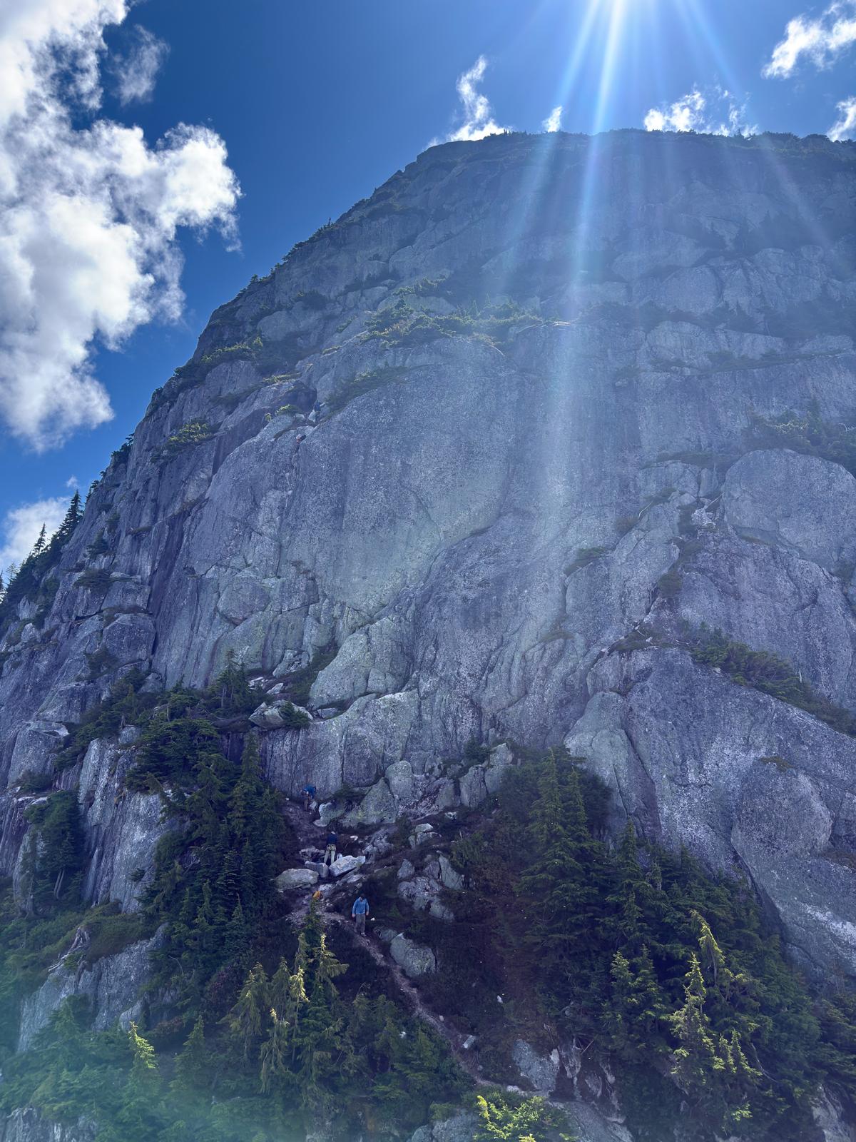
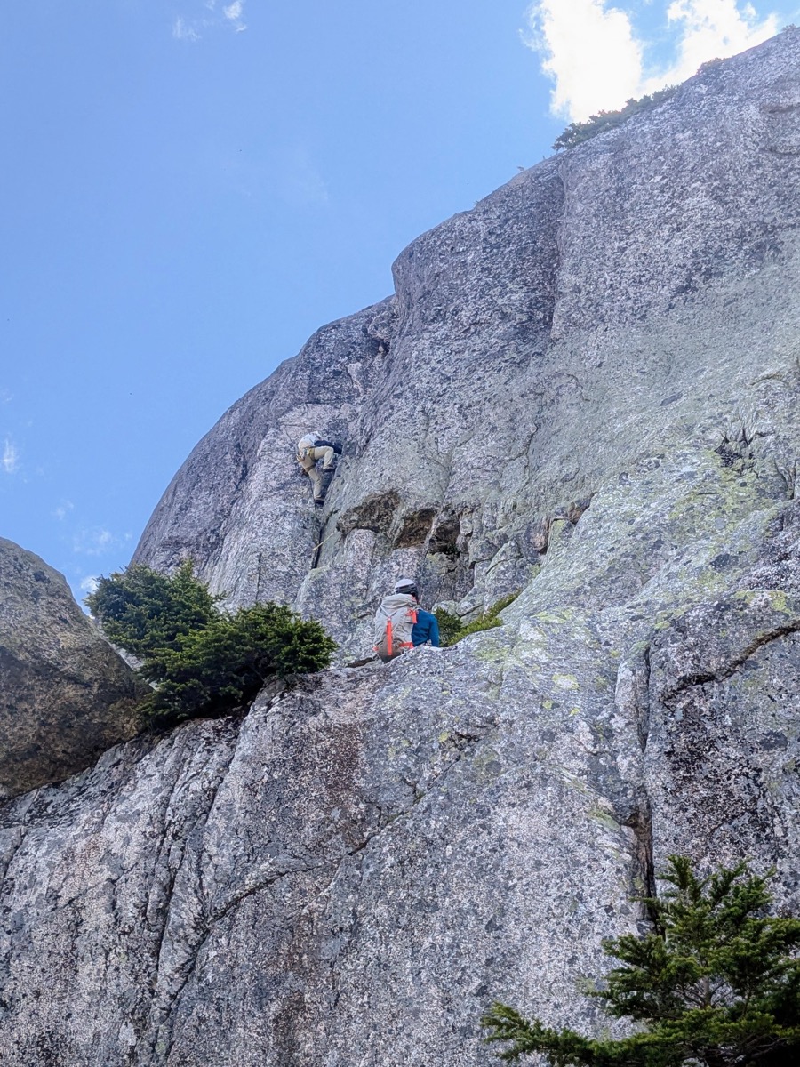
Pitch 1 – 5.4
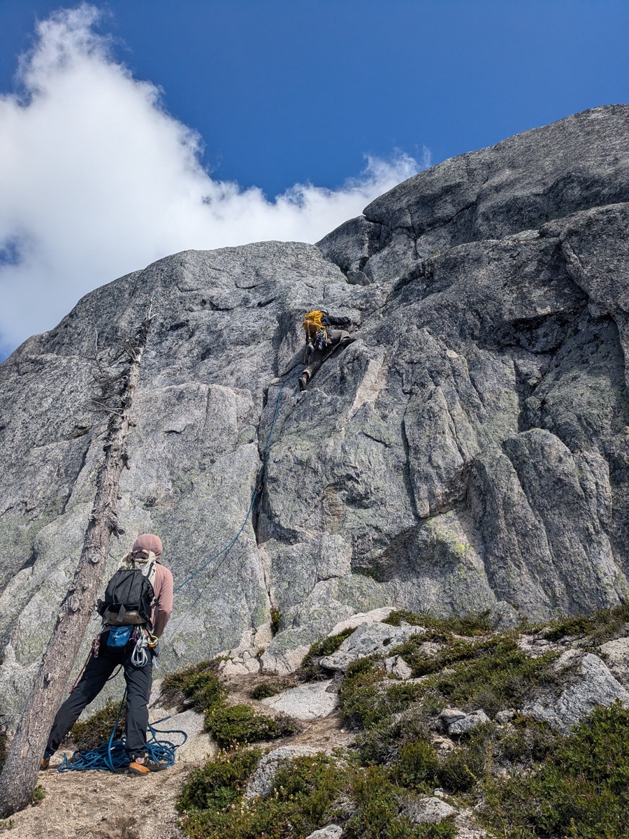
By 12:30 pm, Marc, who had tied in the middle, started leading the first pitch. This was a really short pitch and was over before we knew it. Just a couple of moves past 2 bolts brought us to a comfortable ledge, from where Andrew would belay me for Pitch 2.
The rock felt solid and dry. Initially, I was a little doubtful about the green lichen, but I soon realized the rock had excellent friction.
Pitch 2 – 5.8+/5.9
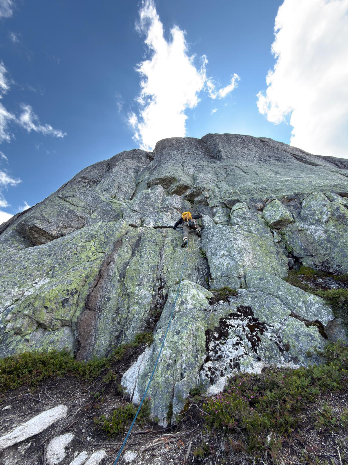
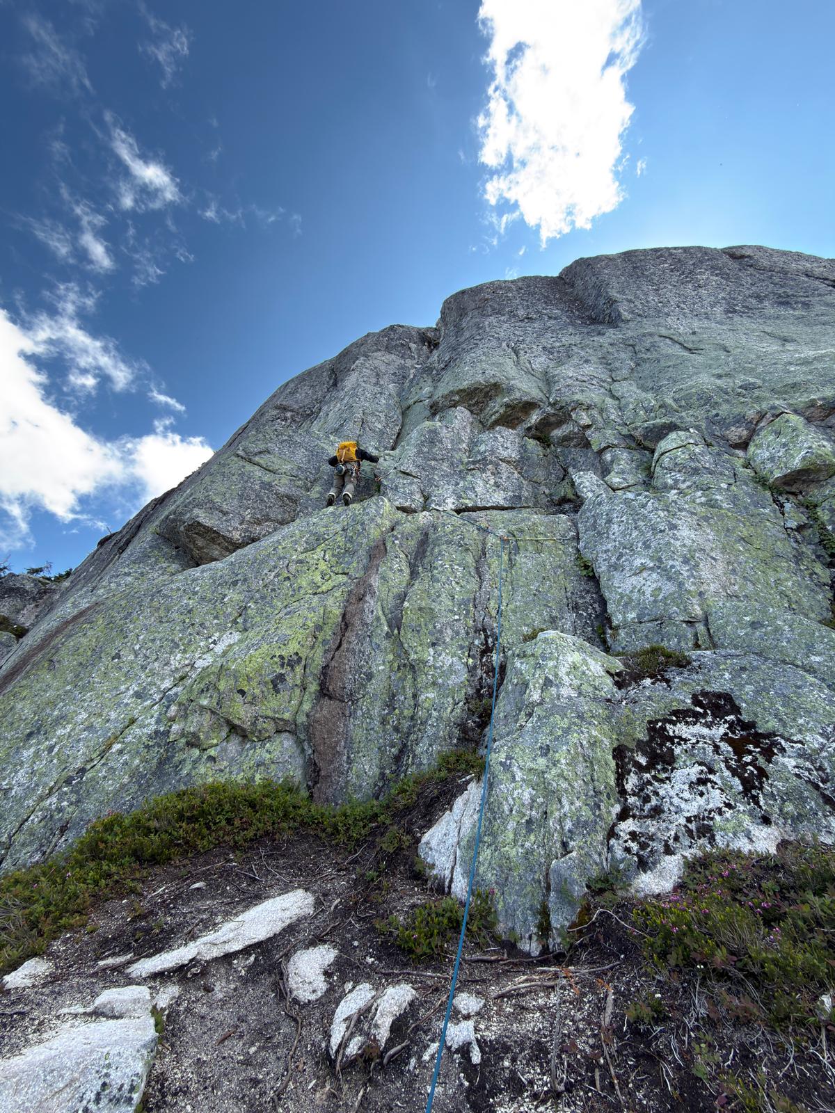
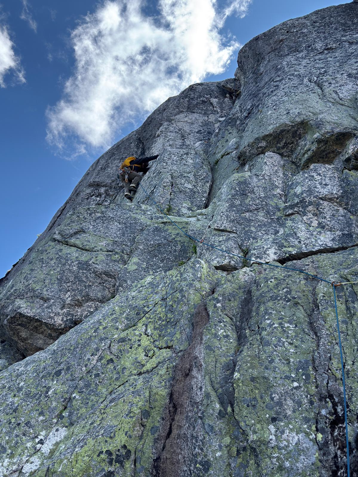
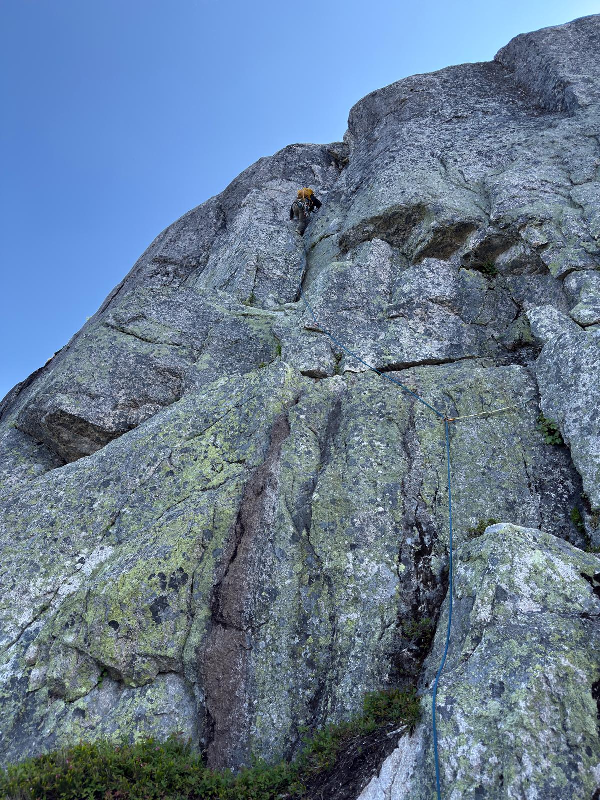
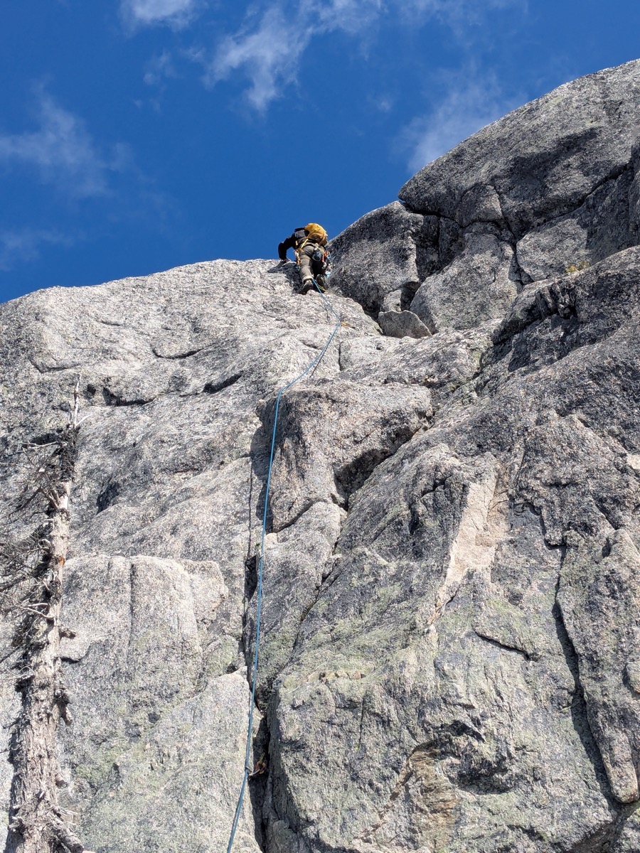
Graded 5.8+/5.9, this is the money pitch. Marc kindly offered me the opportunity to lead it, and I welcomed it excitedly. I had hoped for an easier pitch as a warm-up first, but after telling myself that the hike had warmed me plenty, I started climbing.
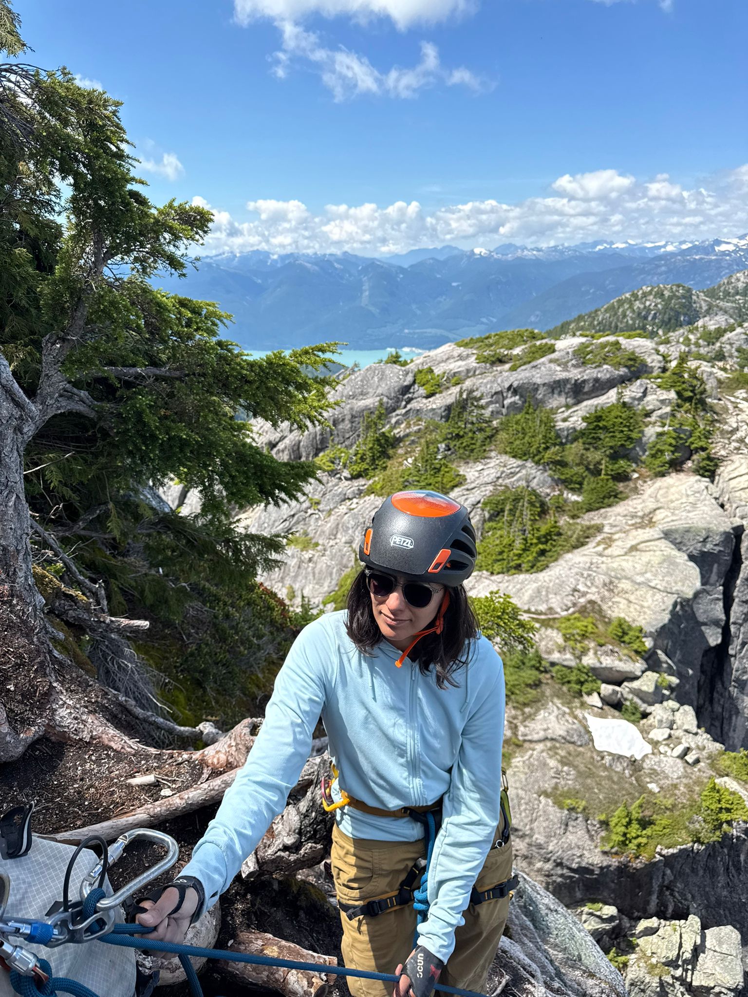
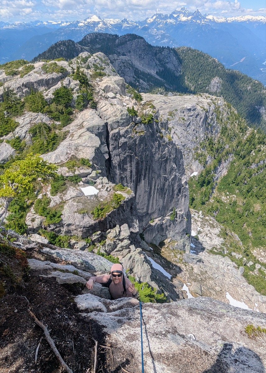
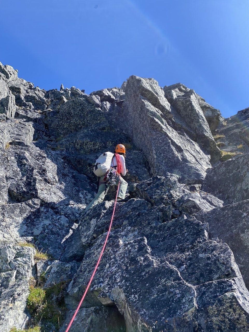
The traverse at the beginning of the route turned out to be far easier than it had looked from a distance. Once I was past the traverse, I put a #3 in the crack in front of me and attempted a few tenuous fist jams. The jams didn’t feel that solid, so I took a step back and looked around for alternatives. A step off to the left seemed feasible, and I suddenly remembered reading on the topo about that possibility. Feeling validated, I went across. I was ready to take a tricky step straight up, but after looking a little to my left, I was pleasantly surprised to find an easy crack that would take me back to the line I was on before the traverse. I went up easily and reached the second crux of the route. I put a couple of pieces to protect the crux and spent some time figuring out the right move. It turned out to be a stemming move and after getting past it, I was on the final 1/3rd section of the route, just below an overhanging flake. Although I was comfortably situated at this point and could see the moves around the flake, I was feeling a bit nervous about the quality of the rock where I had placed my last protection. So I backed it up, and thus feeling secure, went up the flake without any struggle. That was it. I was on the top of P2 and set up a belay for Marc, followed by Andrew.
Pitch 3 – 5.6,
Andrew led this pitch by using bolts and gear, first in a chimneyish section and then finishing with some slab moves.
Pitch 4 – 5.4
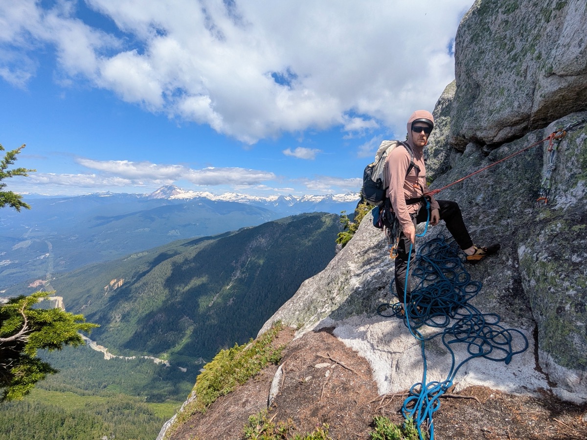
We had to walk up a bit on heather to get to the start of the next pitch. Marc was on the lead again. He made quick work of the pitch and set up a belay for us. I was expecting to go right after Marc. However, there was a bit of confusion for a few mins as Andrew’s rope began to be pulled up instead of mine. We cleared up the confusion using our Rockie Talkies and agreed on the advantages of a bicolor/bipattern rope (which we did not have).
Pitch 5 – 5.8
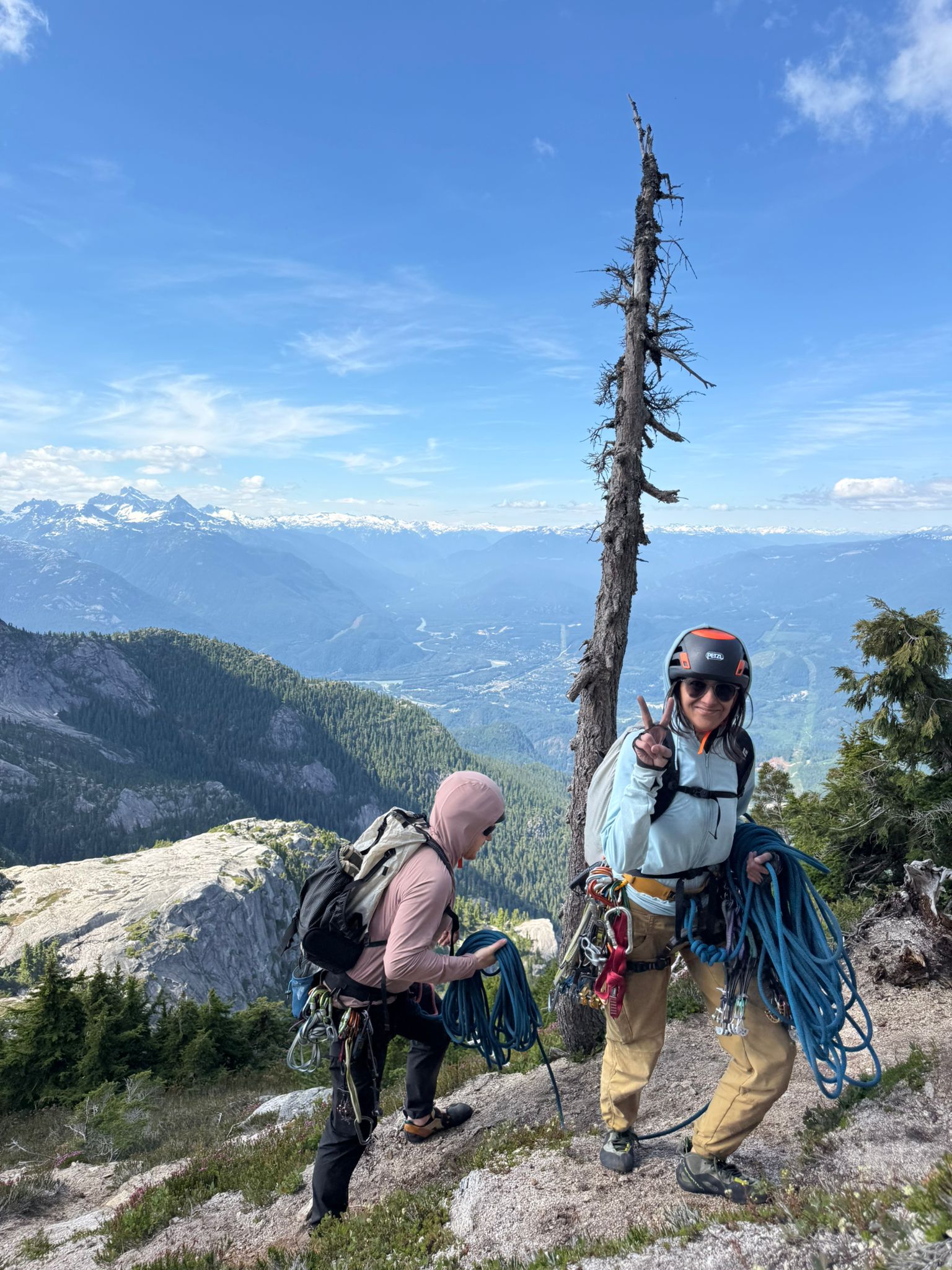
The Quickdraw topo describes this pitch as having immaculate rock. That description was true. However, I somehow expected a pristine splitter crack on this pitch and could never find it. The pitch seemed a little like scrambling through bushes and rocks to me, and felt easier than a 5.8.
While I was belaying my climbing party, Yumi and Jonathan rappelled down to my station, having finished their climb before us. Unfortunately, I had hogged the rappel ring, and they had to wait for a bit before they could continue rappelling down.
Pitch 6 – 5.7
This was a good sport pitch. Andrew took it on and went up without needing to use any trad gear. The slab moves on this pitch were more interesting than the previous pitches.
Pitch 7 – 5.7
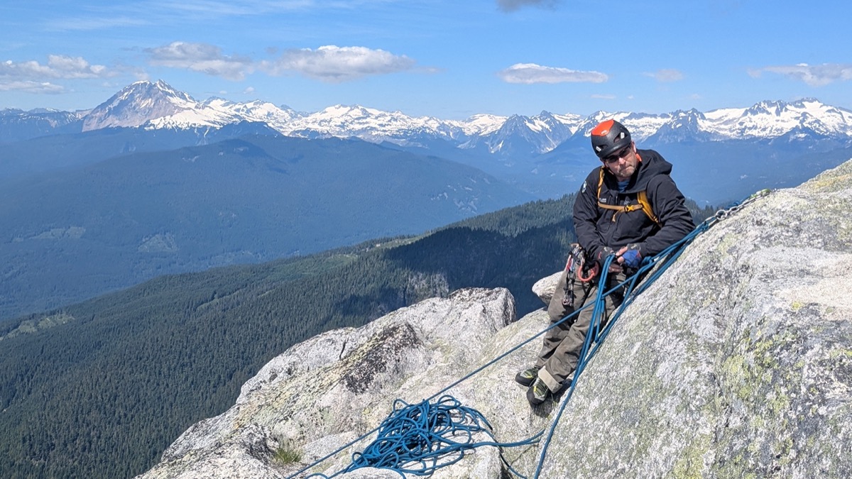
This was a really fun pitch. Marc led it easily and brought us all to the summit!
Summit
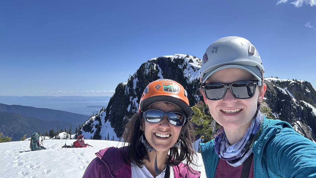
After topping out on P7, we walked up a few steps to the summit and a dramatic view rose up ahead of us. It was 4 pm at this point.
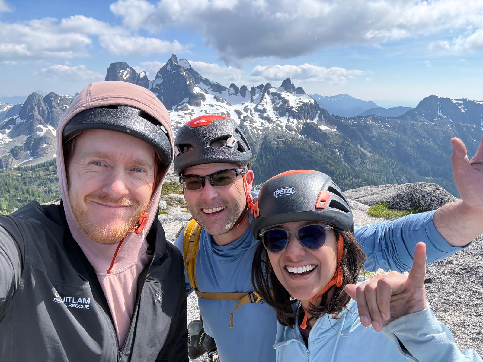
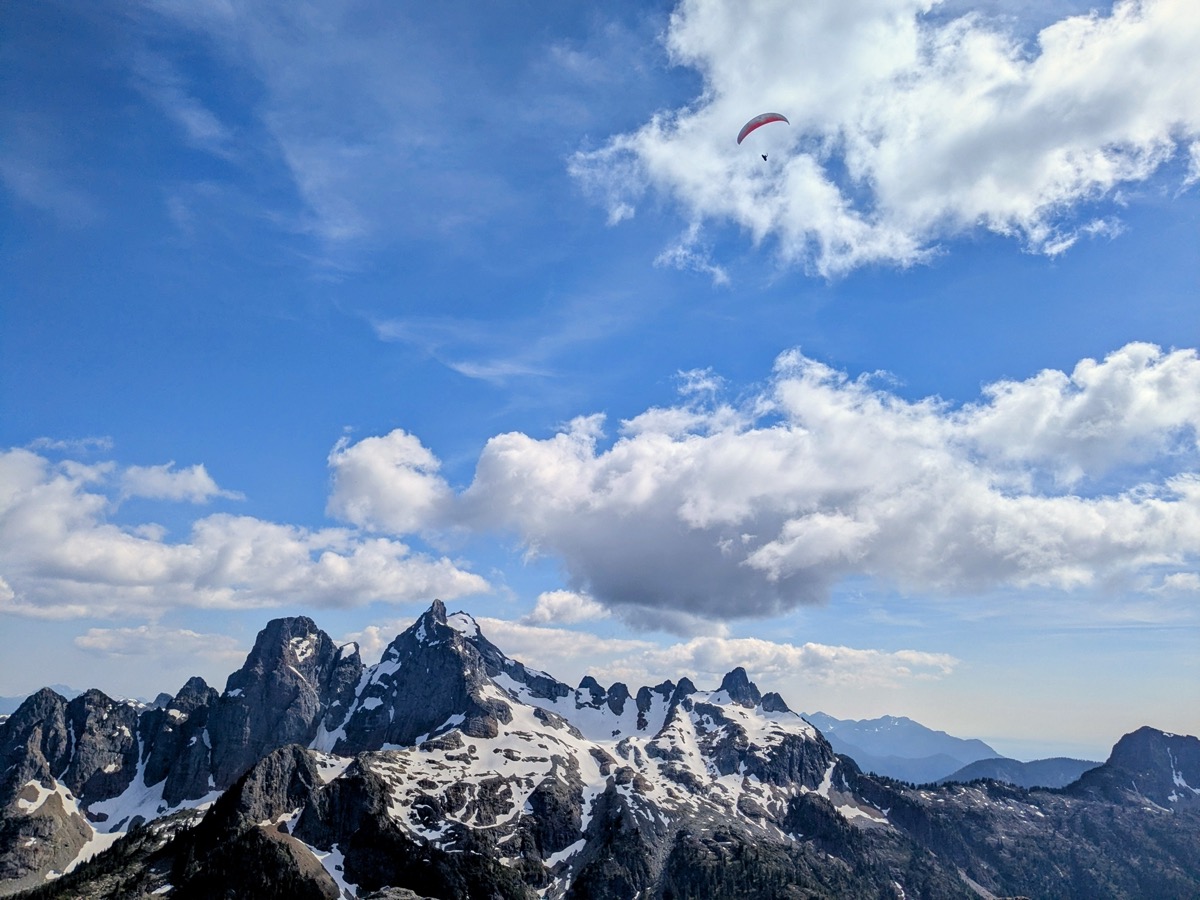
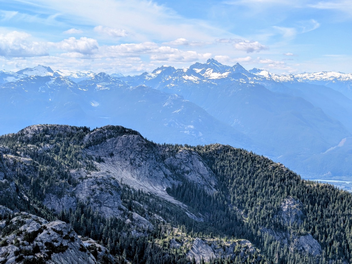
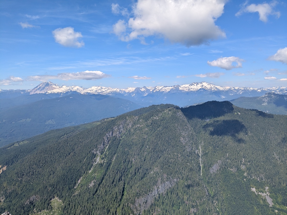
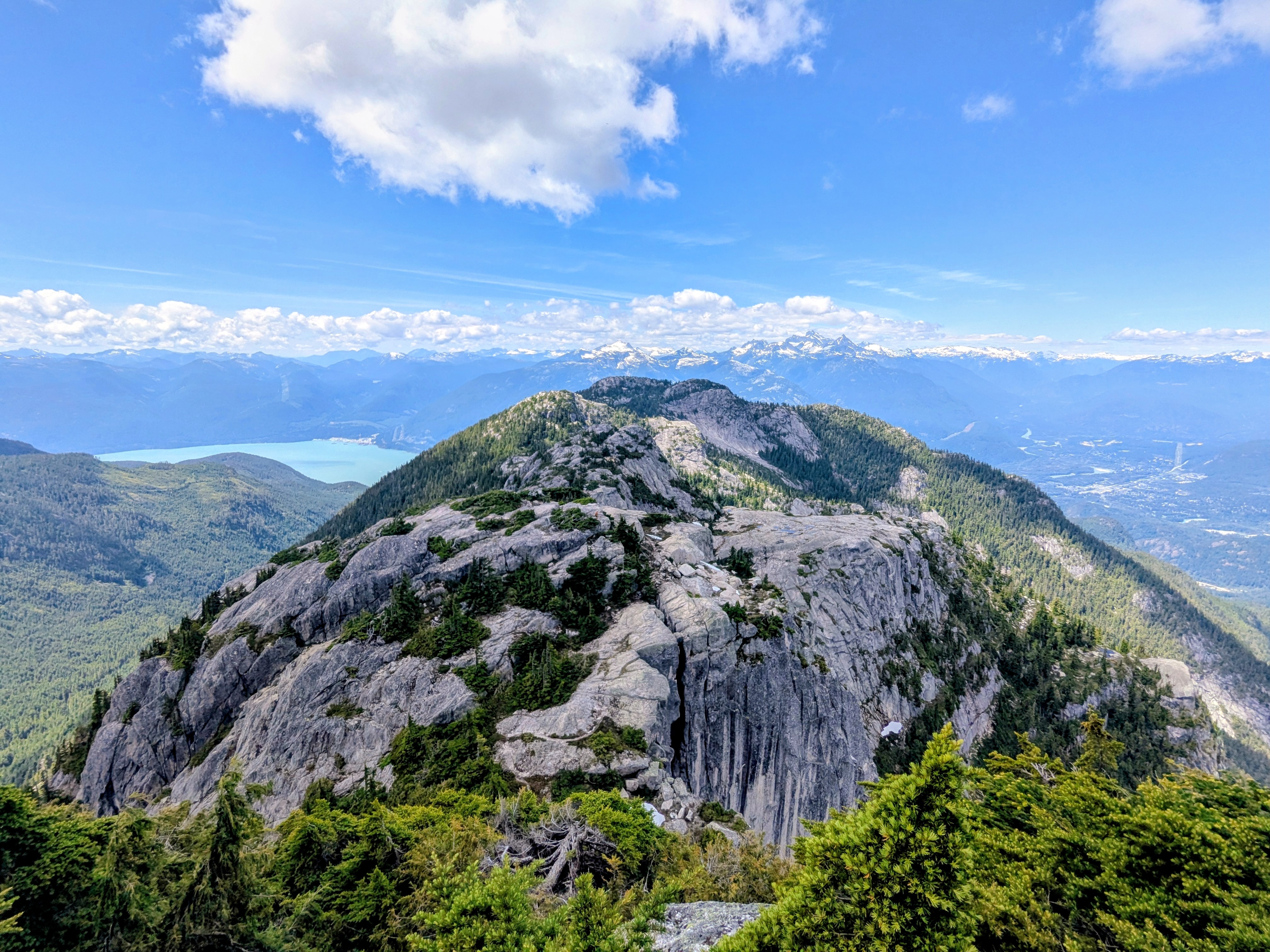
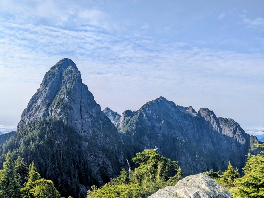
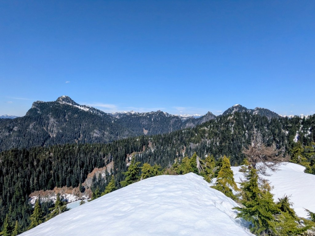
To the south, the sky pilot range, with Ledge, Sky Pilot, and Copilot, filled our view. To our north/north east, Garibaldi and Atwell were shining in the sun, along with the wide expanse of Mamquam mountain. Across the Howe Sound, Tantalus looked beautiful, but a little different than usual since it was my first time looking at it from this side. Immediately to the north west, the Habrich ridge stretched all the way back, in its wholesome granite glory, offering hikers stunning views and plenty of potential camping spots. As we munched on our sandwiches, a paraglider soared above us. We were jealous of the altitude he had gained and could feel him climbing the thermals. We lingered around till 4:30 pm and then started our downhill journey.
Descent
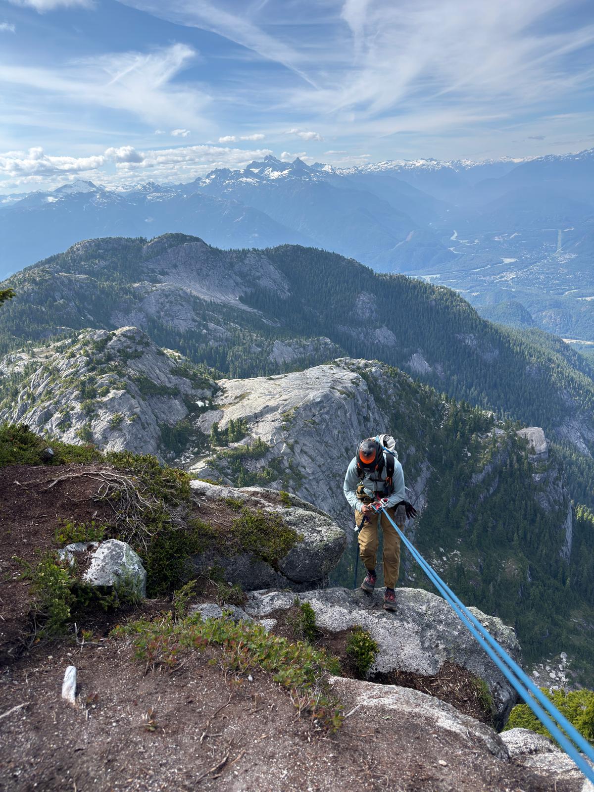
We were conscious of the time, as the last download in the gondola was at 8 pm. We were quite efficient with our rappels and were back at the col at 6 pm. From then on, we practically ran back to the upper gondola station, with just one rest stop in the middle of the steep, forested hike. We made it back at 7:30 pm, just in time for a celebratory beer before heading down.
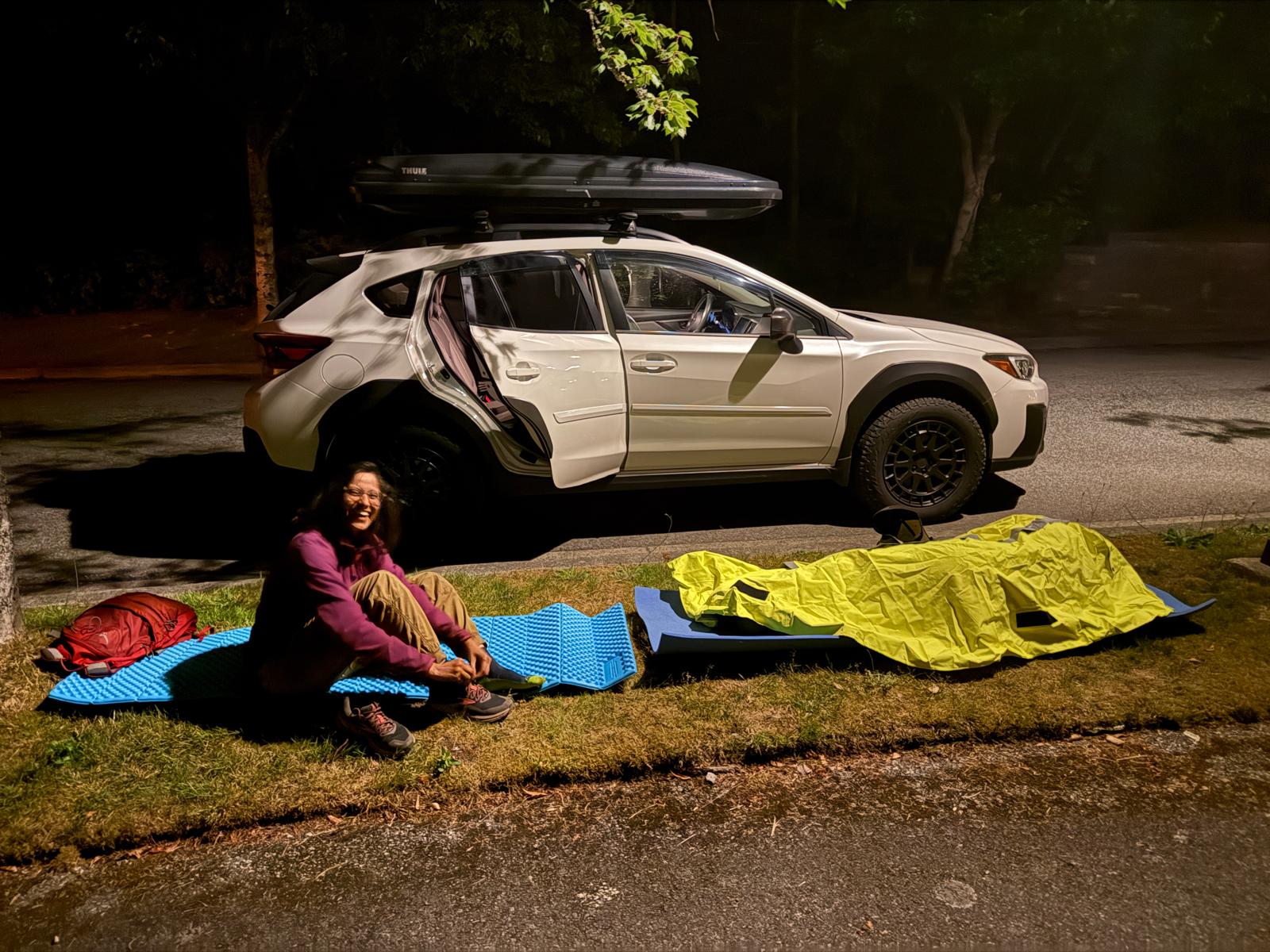
Despite making the TH to TH trip in 10 hours, we were unable to get back home until 4:15 am the next day! As it turned out, there was a terrible motorcycle accident on the S2S highway, involving a fatality. The highway was shut down for investigation for almost 8 hours. It was quite an ordeal to be stuck in the highway traffic, with the internet network jammed up, and no real way of knowing when the highway would open again. At one point, we simply pulled up in the residential area of Furry Creek and tried to get some shuteye under a streetlight (thanks to some extra gear that Marc had in his car). The traffic finally started moving around 3 am and we could get out of there, satisfied but very tired.
 To Wonder & Wander
Leave a comment