
It was June 20th,2010 and after ten grueling sessions(okay,may be nine) in a crash course for my GRE preparations,it was only fair that i get a treat of the mountains in this year’s monsoons.
I had been reserving my enthusiasm and more importantly,days ,for the hike to fort Tikona.But by the first week of June,rains had begun their earth bound journey in Pune and it had started becoming difficult to just watch them from inside the room.
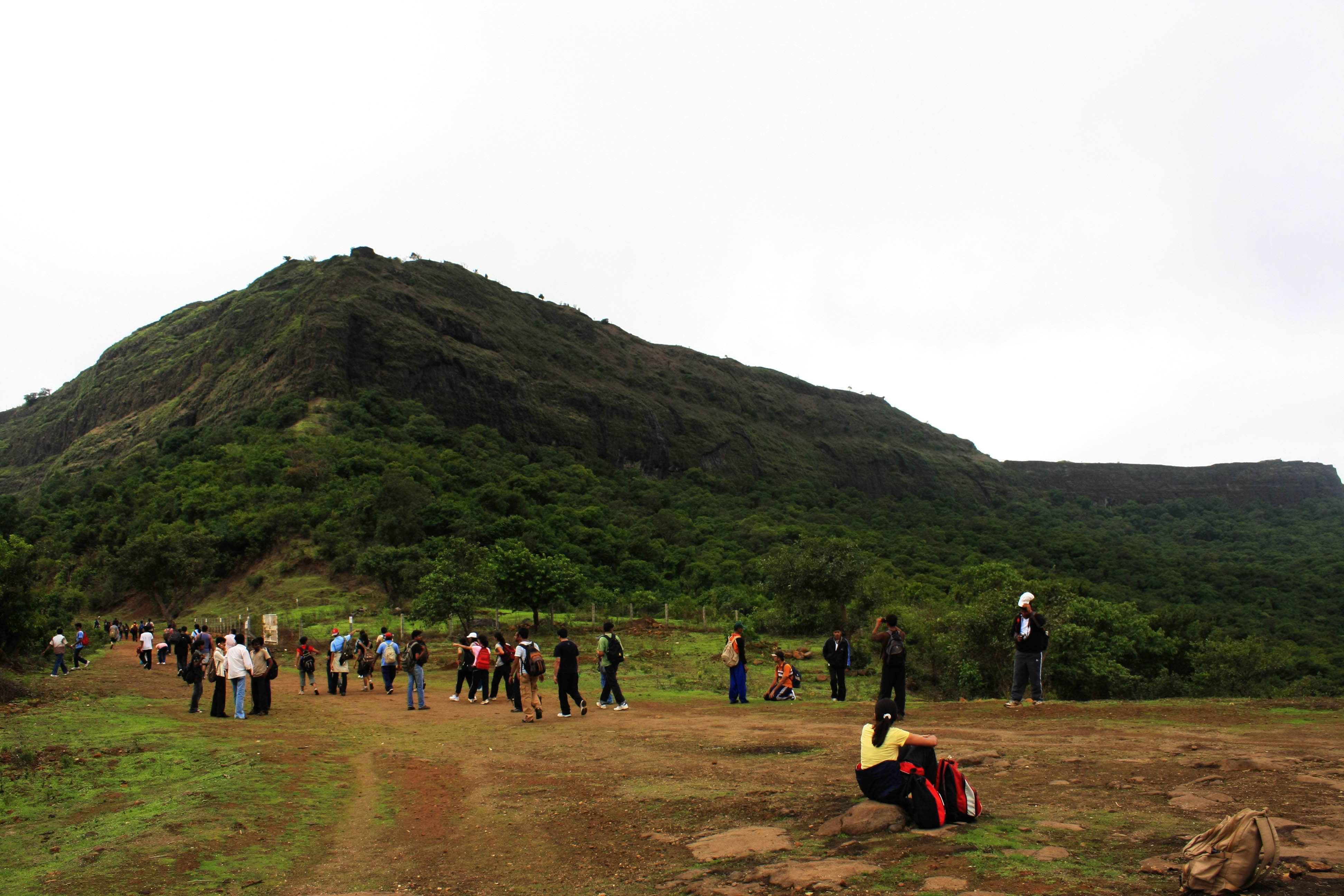
So when i came to know about the Lohagad hike,i jumped onto the chance..not minding the fact that i’d be going with a group of around 65 people..i prefer smaller closed knit groups..but what the hell,i might as well try going out with this trekking group called Yuvashakti about which i had heard a lot from my friends.
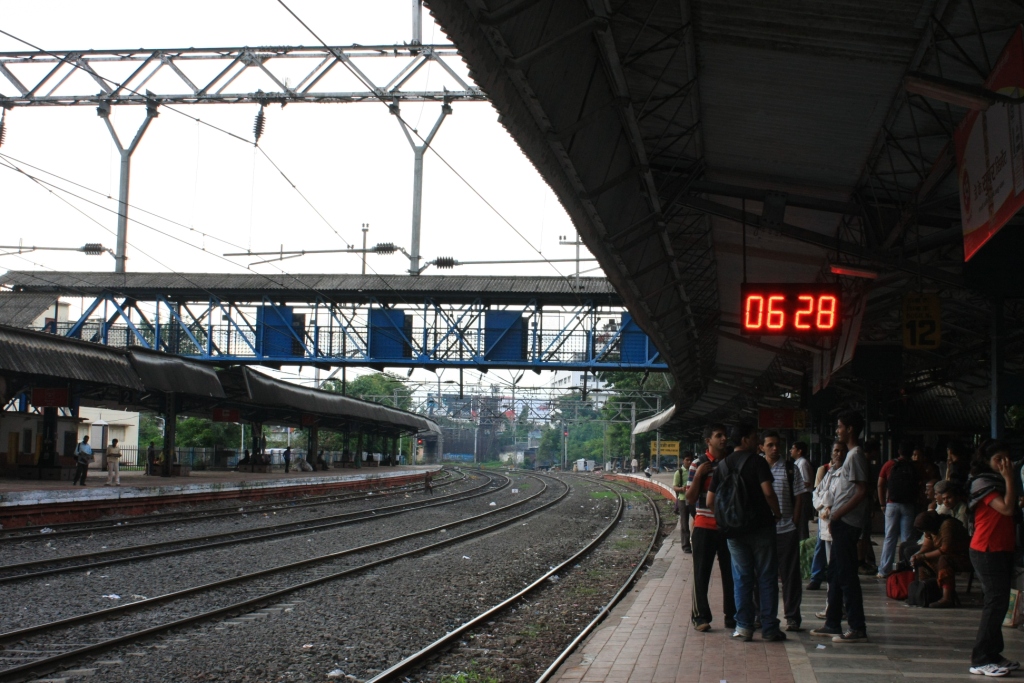
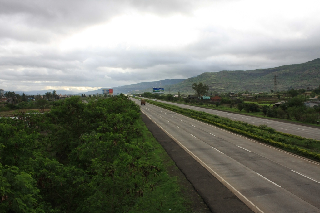
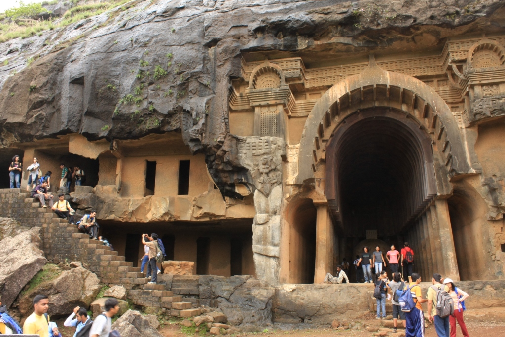
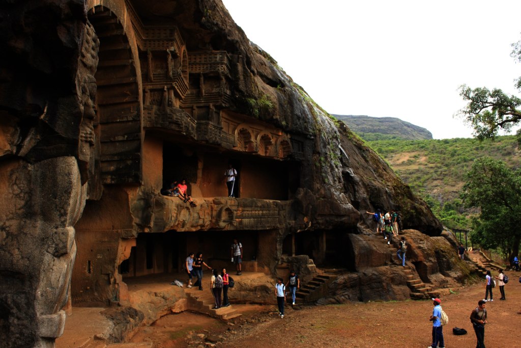
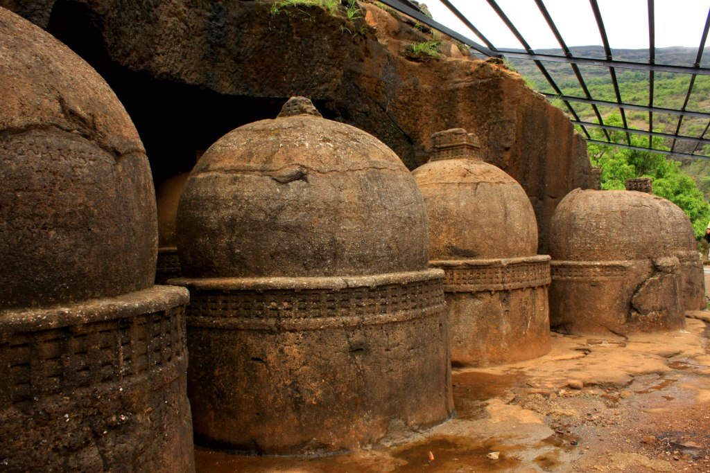
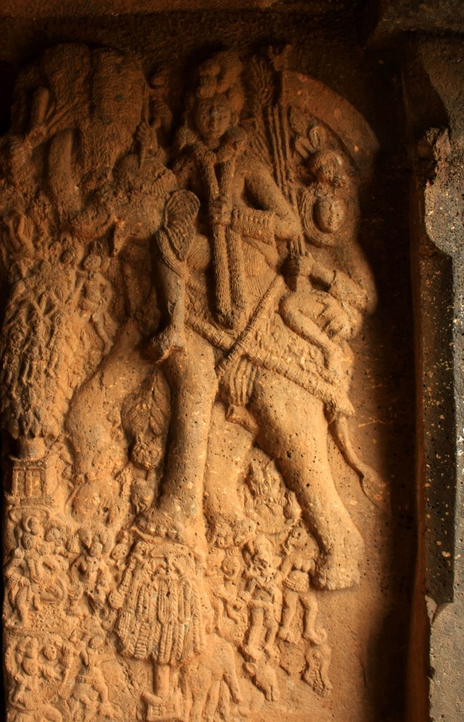
Taking the 6.30 a.m train from Shivajinagar,we alighted at Malavali(base village for the hike i.e.roadhead) railway station,one stop short of Lonavala, at 7.30..The plan was to have a quick(which it wasn’t) breakfast and then visit Bhaje caves.The caves are a very short walk away from Malavali..may just about 15-20mins..
Being a native of the town which is famous for its Ellora and Ajintha caves,I was not adequately impressed by Bhaje caves(altitude 643m ).They lacked the grandness quotient.
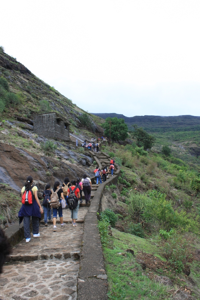
The hike would start from now onwards.Its not even a hike actually.We just avoided taking motorable road and instead walked through the shrubs n grasses.This exercise would have been pointless had it not been for the lush greenery brought about by the rains.
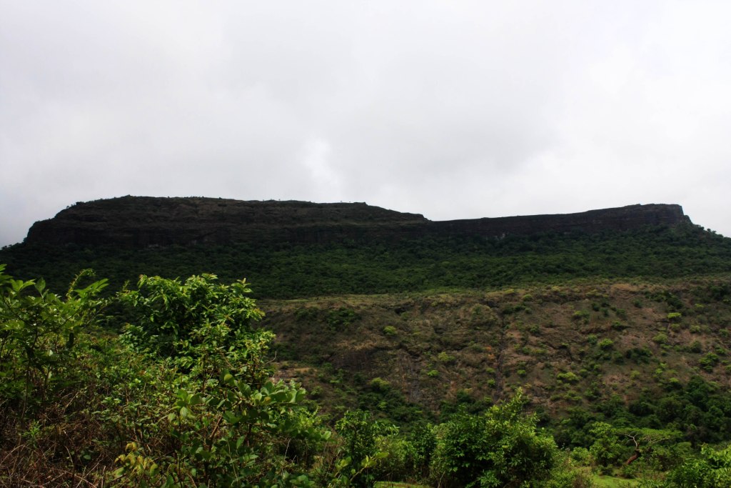
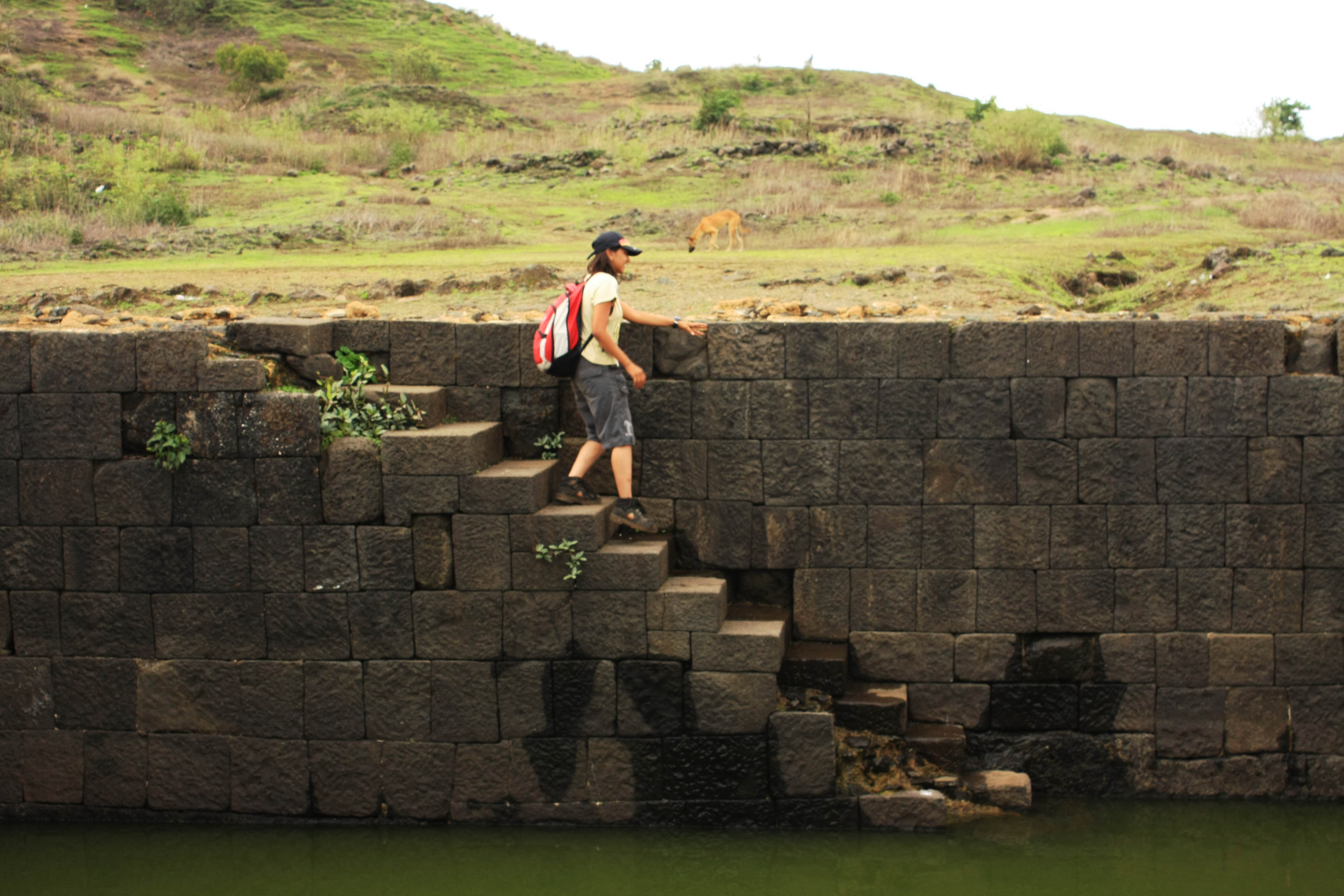
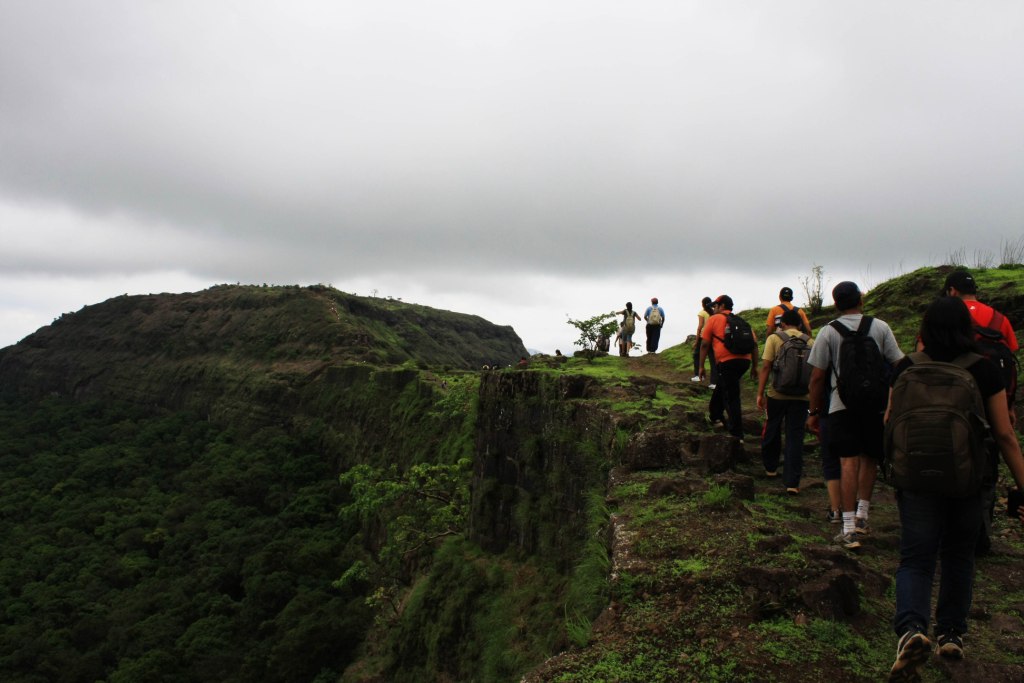
Thus,we walked for about 2 hours to Lohakarwadi,the settlement at the base of Lohagad.Just before Lohakarwadi,we reached a plateausque region at the base of Visapur fort.This fort lies to the west of Lohagad.Once we reached Lohakarwadi,all that had remained between us and the top of the fort was a series of stairs.
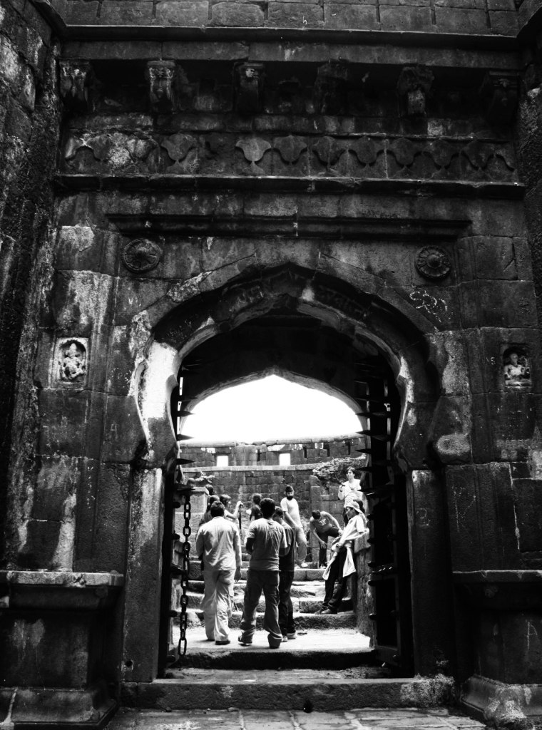
Lohagad(1010m on my altimeter) has a long history with several dynasties occupying it at different periods of time:Satavahanas, Chalukyas, Rashtrakutas, Yadavas, Bahamanis, Nizamshahis,Mughals and Marathas. Shivaji captured it in 1648 CE, but he was forced to surrender it to the Mughals in 1665 CE by the Treaty of Purandar. Shivaji recaptured the fort in 1670 CE and used it for keeping his treasury.(shamelessly copy pasted from wiki).
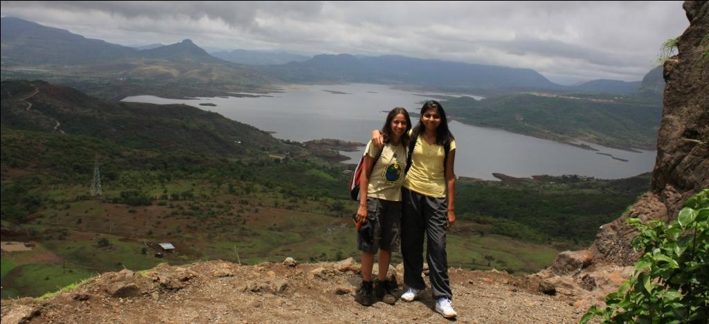
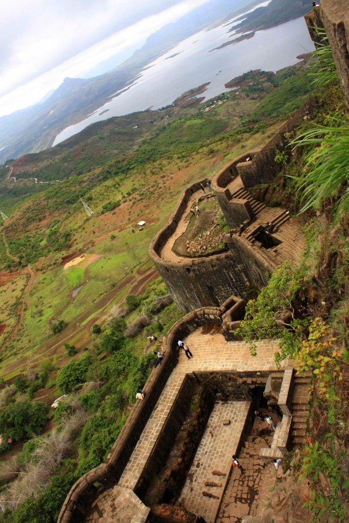
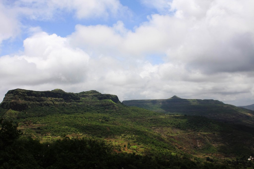
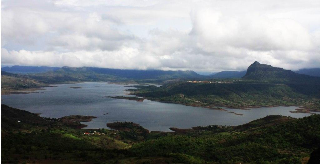
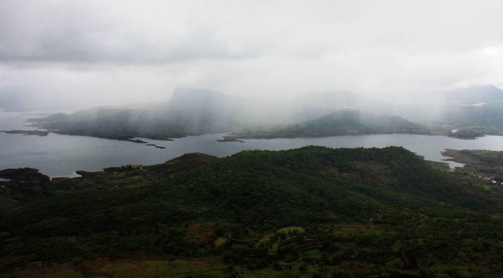
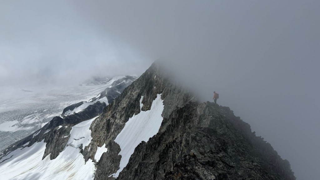
The top of the fort afforded a splendid view of the nearby mountains.Visapur ,Tikona with waters of Pavananagr,along with the intermittent drizzle and the cloudy weather made for a picturesque panorama.There was a Muslim shrine(i hope thats what it was..i was too busy watching the surrounding beauty to pay attention to details like these) also here..
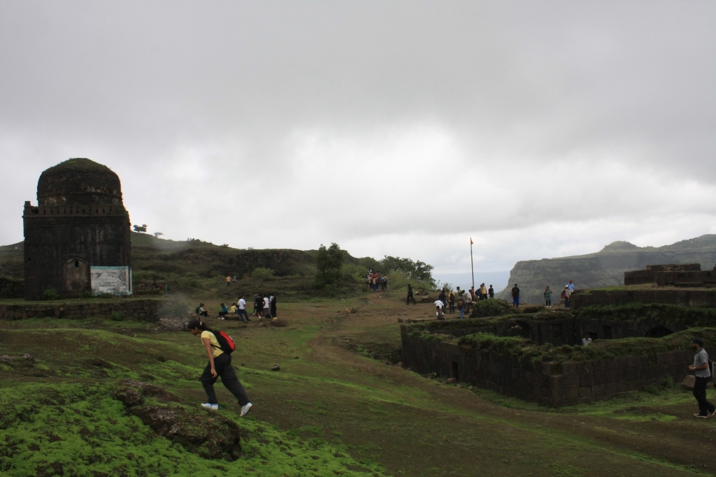
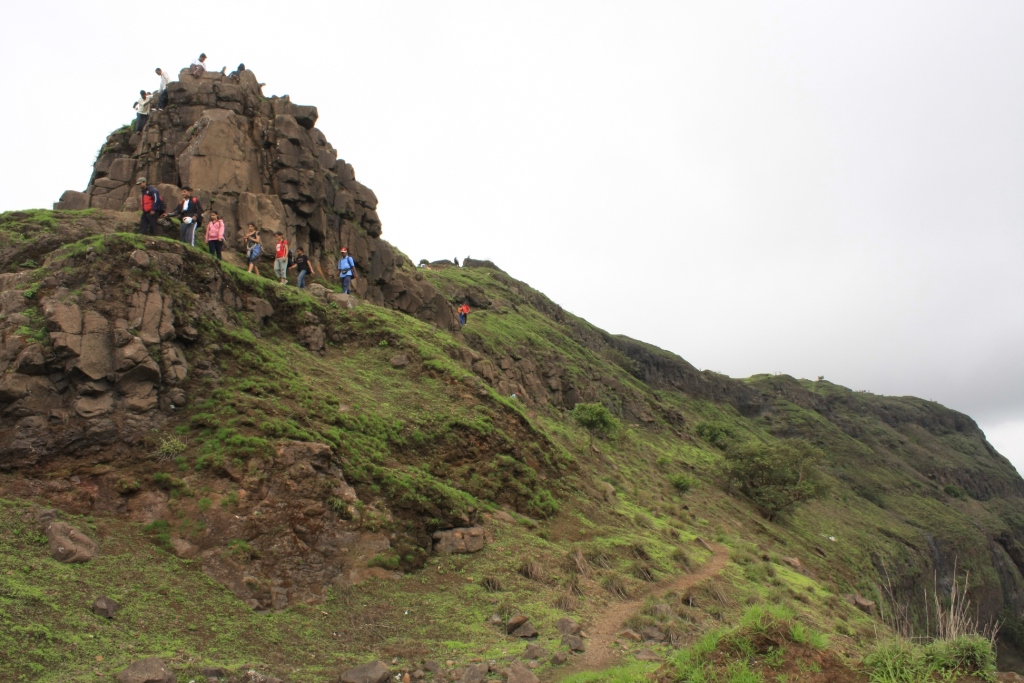
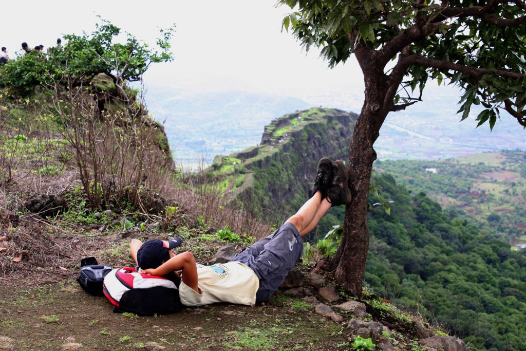
this plateau is quite huge.We had our packed lunch here and then moved on ahead to visit Vinchu kata(Scorpion’s tail).Vinchu kata is a ridge/spur that extends on the west side of the fort.The walk to and along the spur offers you some beautiful shots.
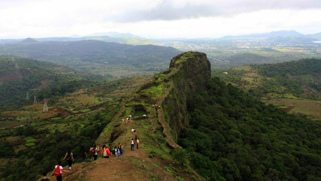
Here the group dispersed a bit and this was my most favourite part of the hike.I and Pallavi were walking almost by ourselves.I got a few nice angles from my lens..we even did some rock climbing with the help of our trek leaders ,while climbing back the spur.

and then,sequestered from other people,we just lied down beside a tree..backs to the ground,eyes on the horizon..scanning the ranges ahead of us.It was peaceful and i got what i had come for.Bliss 🙂
This was the end of the journey for us.Walk back down the fort and further on to Malawali was inconsequential.We caught up with fellow hikers from the group.Chit chats,exchanging numbers,talking about treks,climbs,other significant and even more insignificant things. 😀
In Pallavi,i found that relatively rare entity called a female trekking enthusiast friend.Had loads of fun showing off my camera and her pre acquired injuries to people.😛
So such was the beginning to the Hiking Season 2010.Keep watching !
Find the Complete album Here.


Leave a reply to shreyas Cancel reply